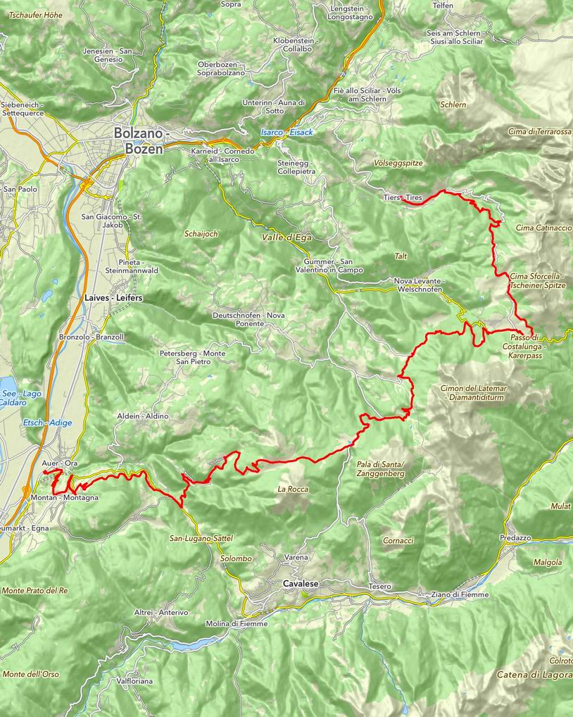
18.07.2014 | Tag 6 | Tiers - Auer
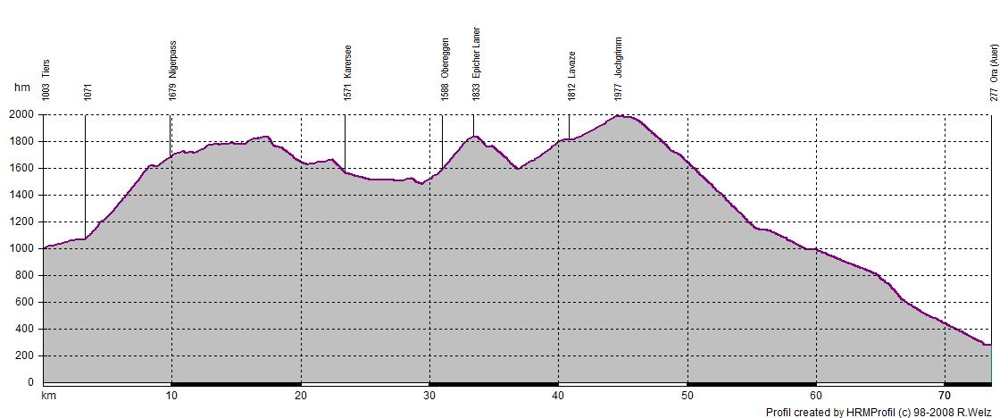
| Übersichtskarte | Höhenprofil | Download GPX Track |
| Länge: | 73,5 km |
| Uhrzeit: | 08:39 Uhr |
| Fahrzeit: | 10:17 h |
| Höhenmeter: | 1764 hm |
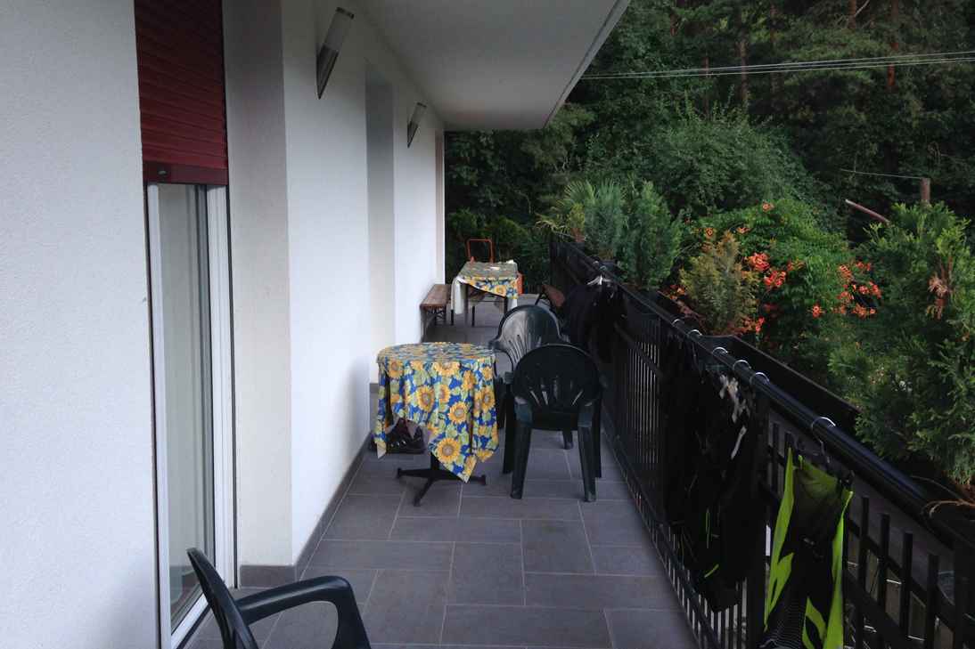
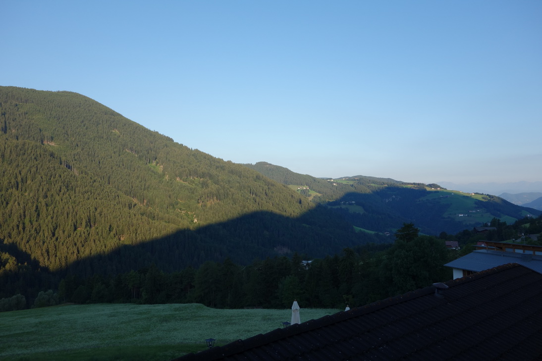 Balkonblick Gasthof Rose |
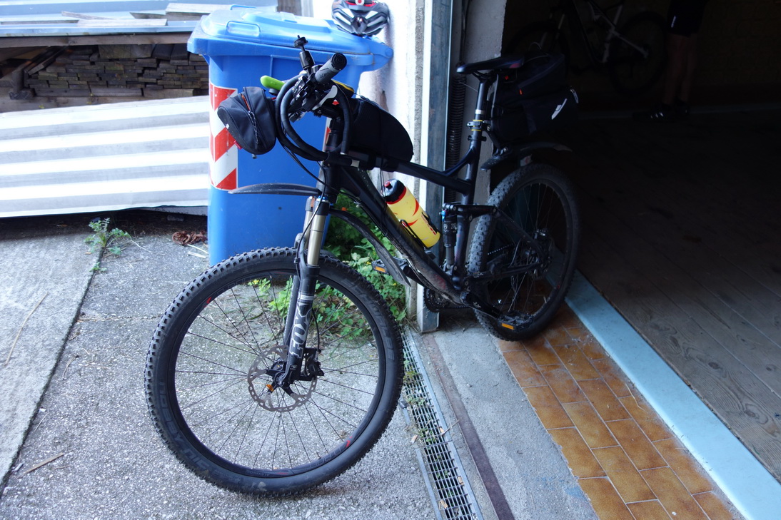 Startklar! |
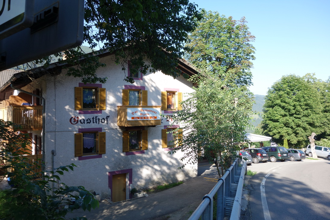 Gasthof Rose - Bikehotel |
 N46° 27.730' E11° 34.825' |
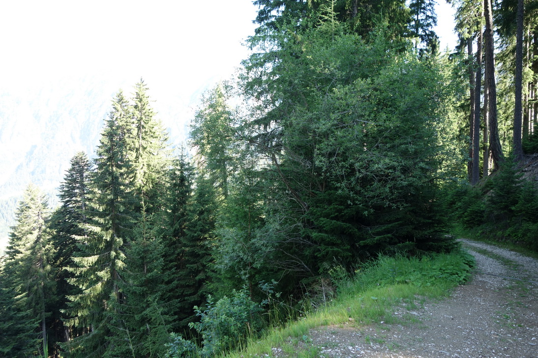 Anstieg zum Nigerpass |
 Nigerpass |
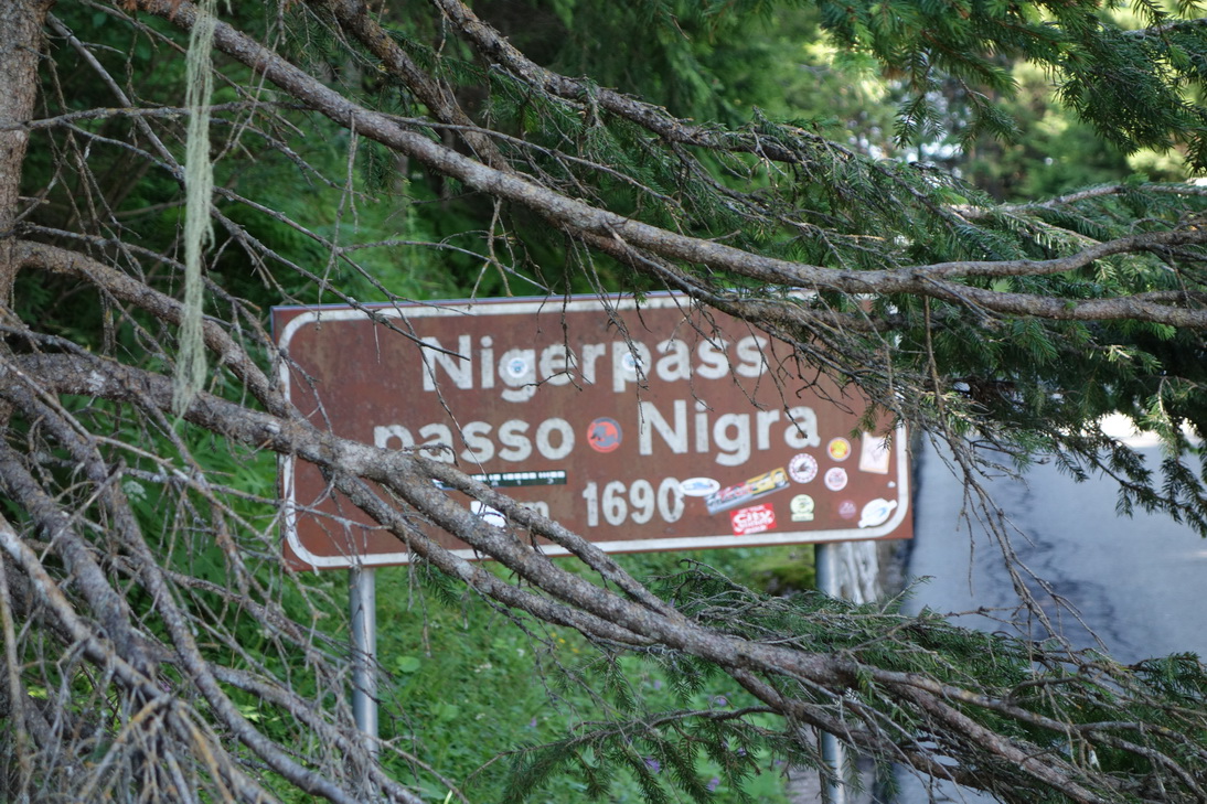 Nigerpass (1690m ü. N) |
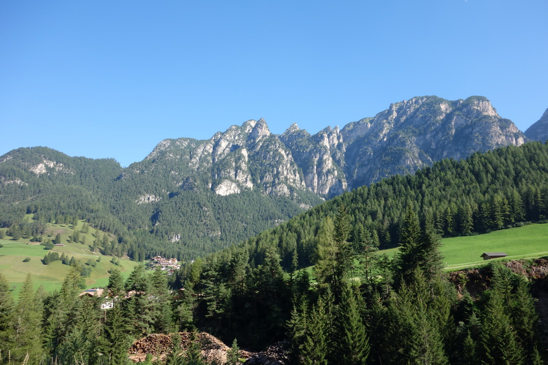
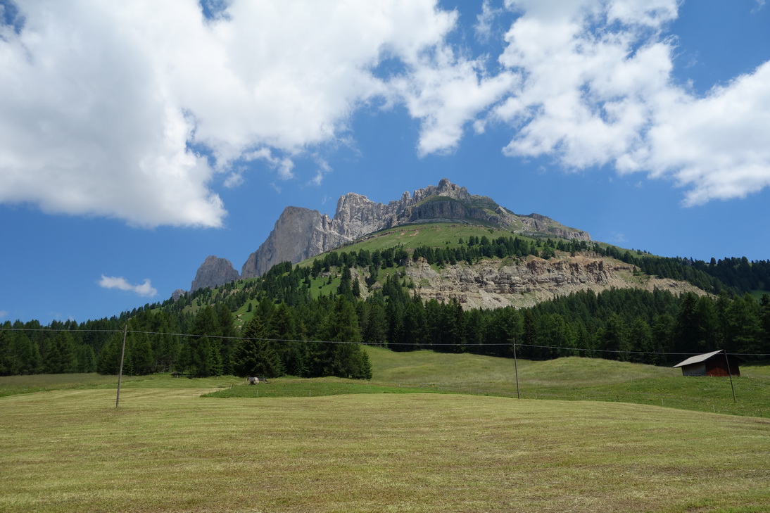
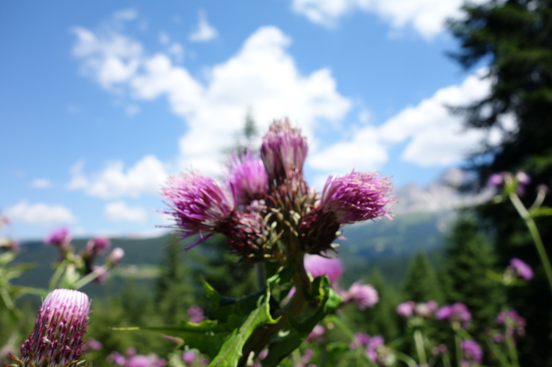
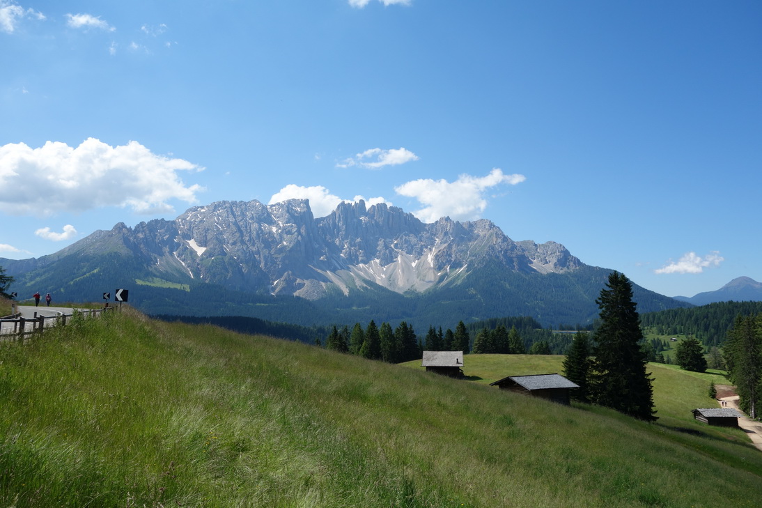 Blick auf den Rosengarten |
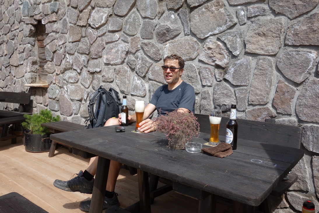 Wie immer, Hefeweizen alkoholfrei! |
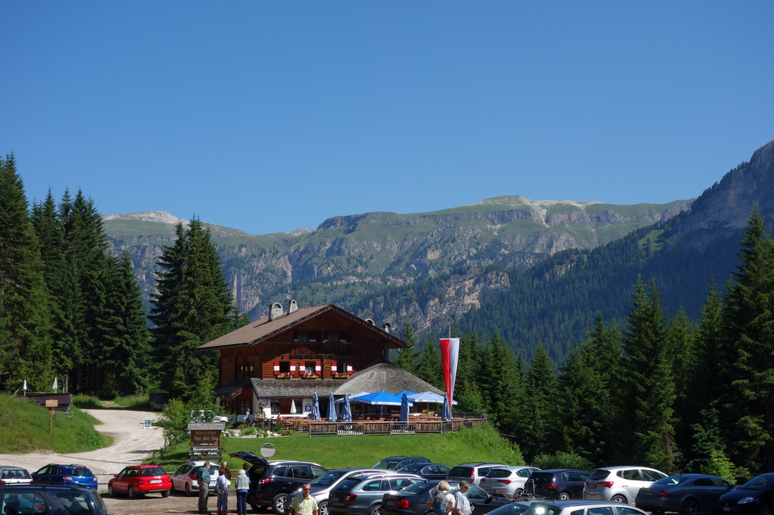
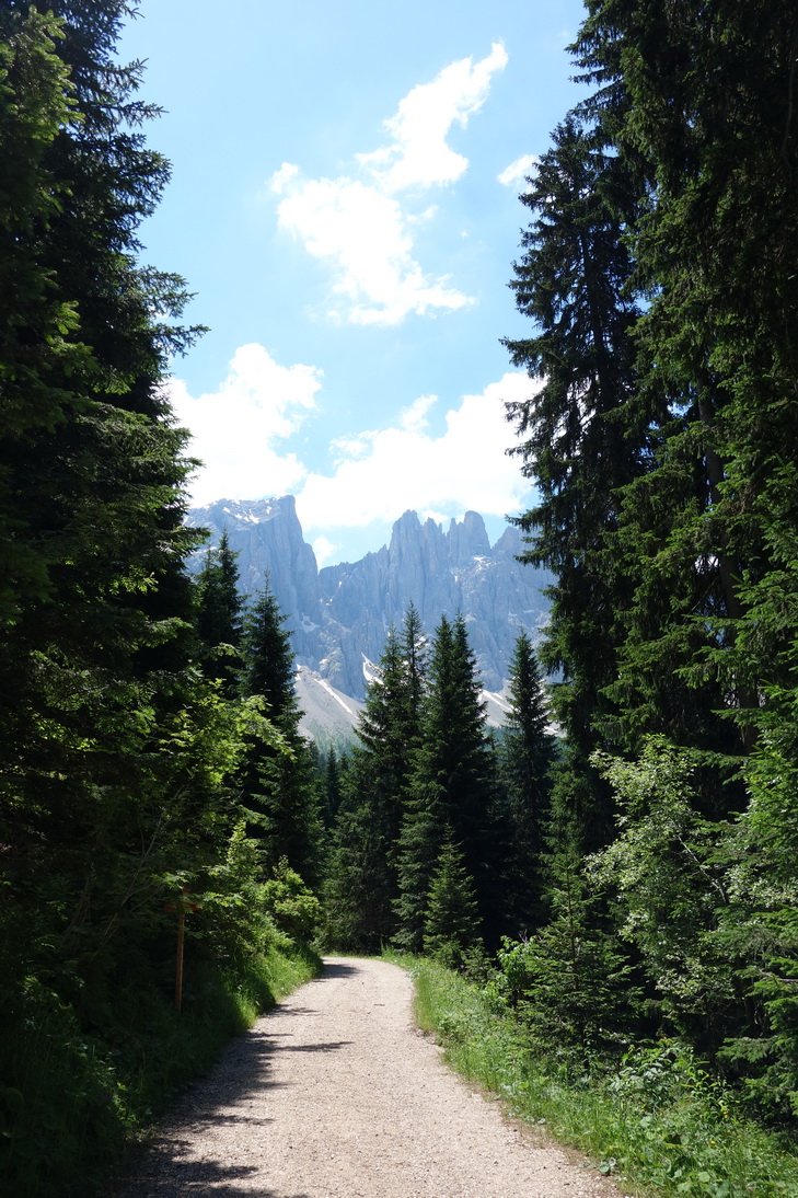
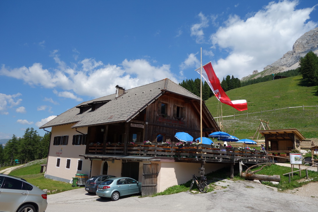
 Tscheiner Hütte |
 N46° 24.253' E11° 36.658' |
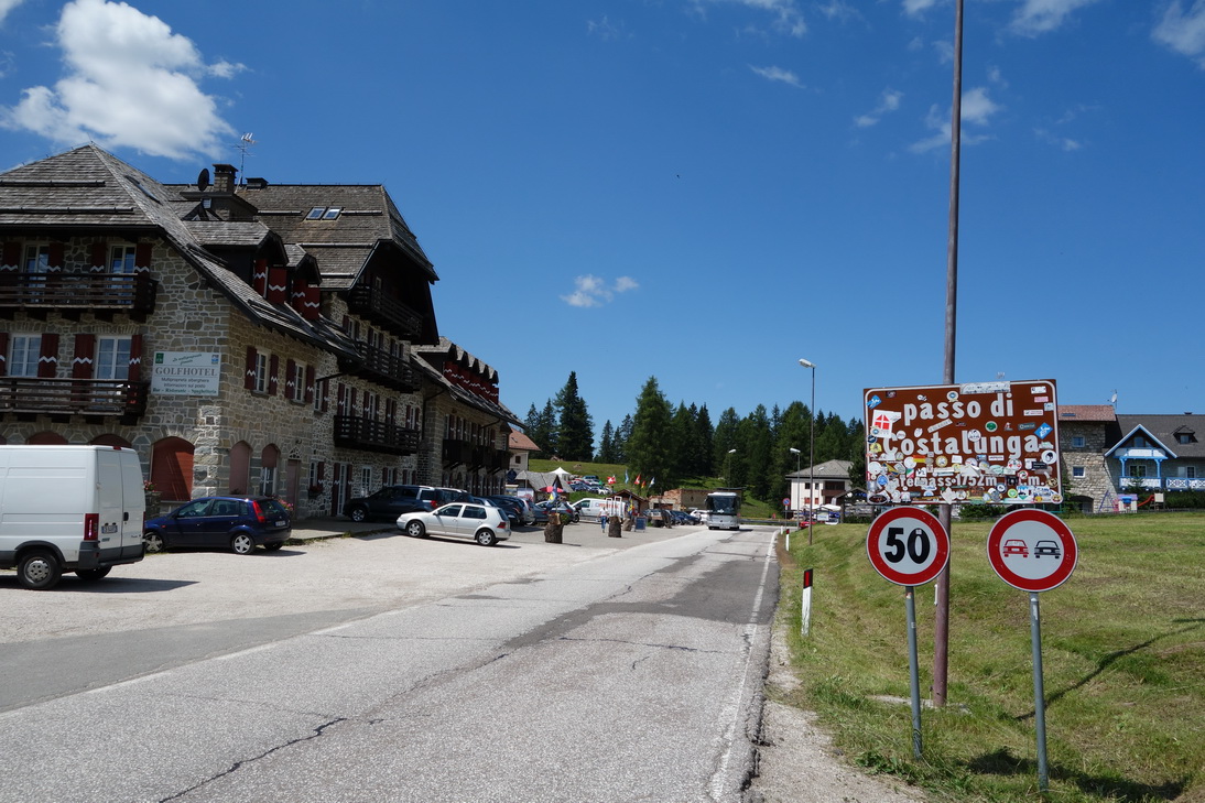 Passo di Costalunga |
 N46° 24.319' E11° 34.862' |
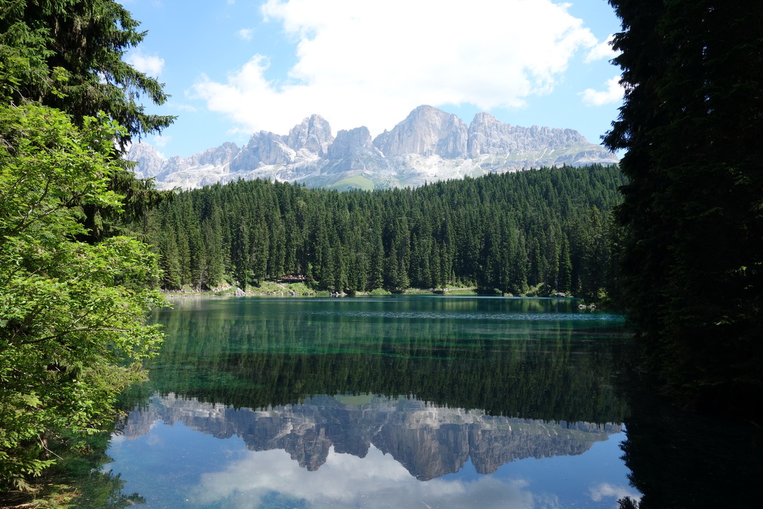 Karersee |
 N46° 24.361' E11° 33.309' |
 Epicher Laner (1825m ü. N) |
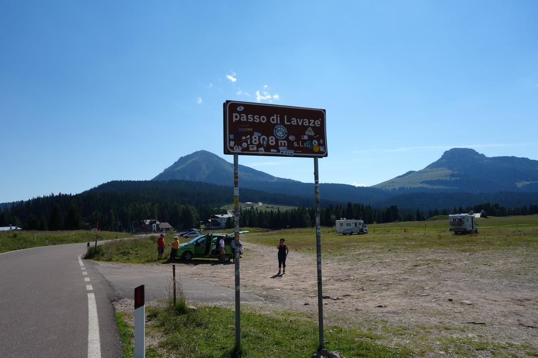 Passo di Lavaze (1808m ü. N) |
 Letzter Pass, Jochgrimm(1989m ü. N) |
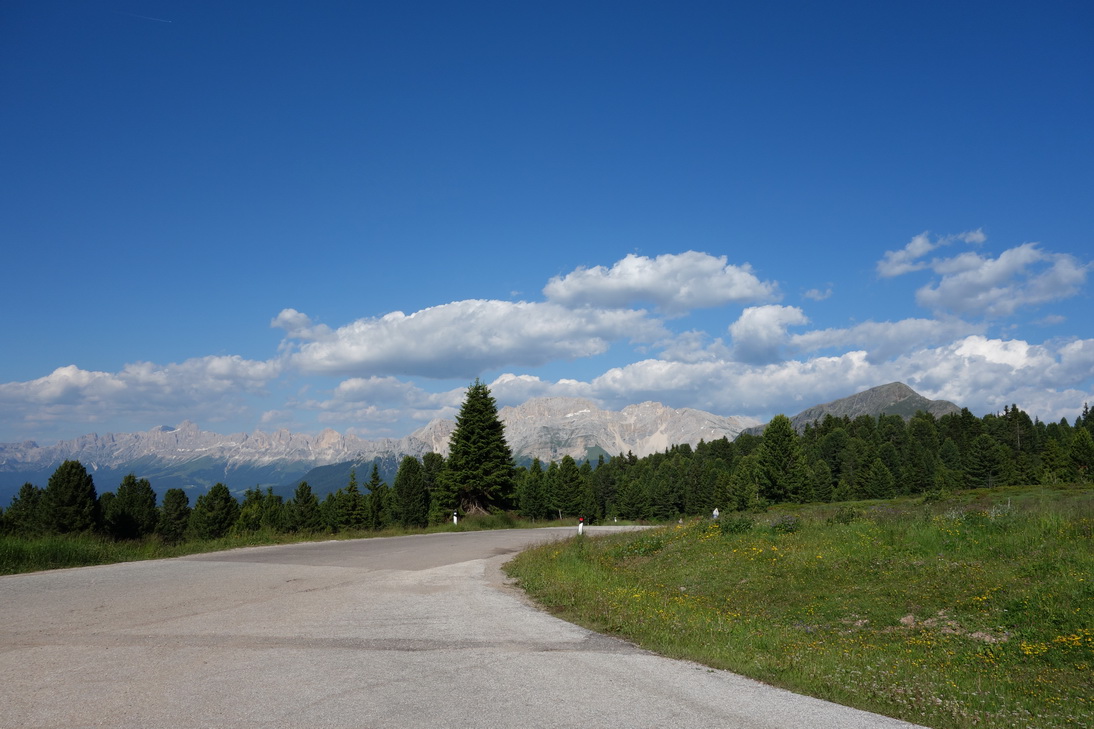 Letzter Pass, Jochgrimm(1989m ü. N) |
 30km Abfahrt von 1989m auf 275m |
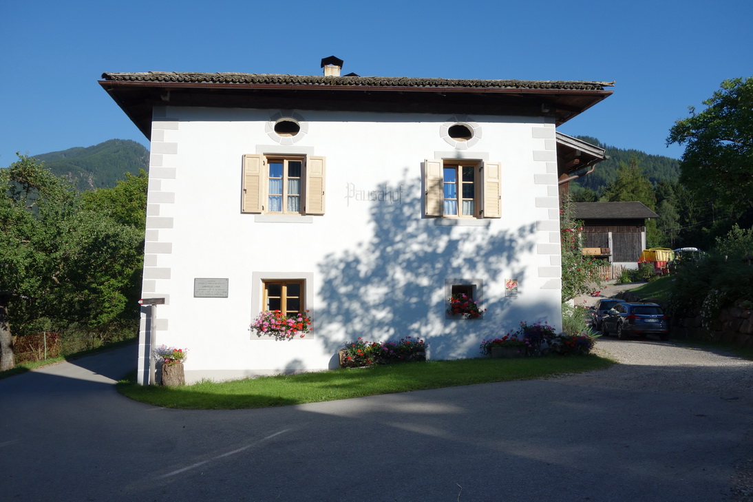 Pausa |
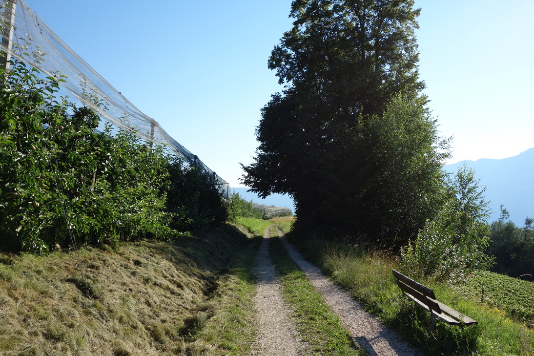
 Ehemaliger Bahndamm als Radweg |
 Apfelplantagen in Montan |
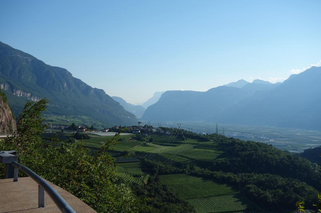 Blick in das südtiroler Unterland |
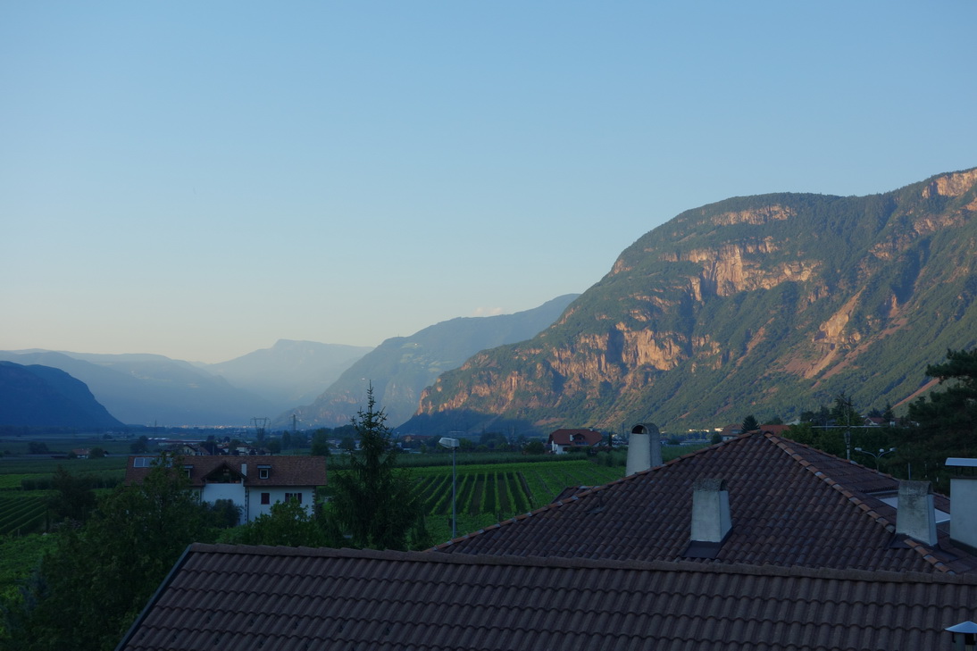 Die Dächer von Ora (Auer) |
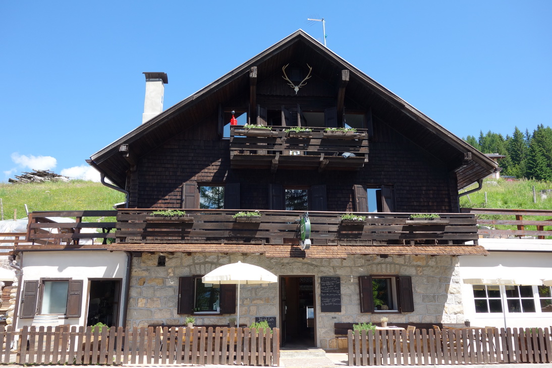
 Pensione Flora |
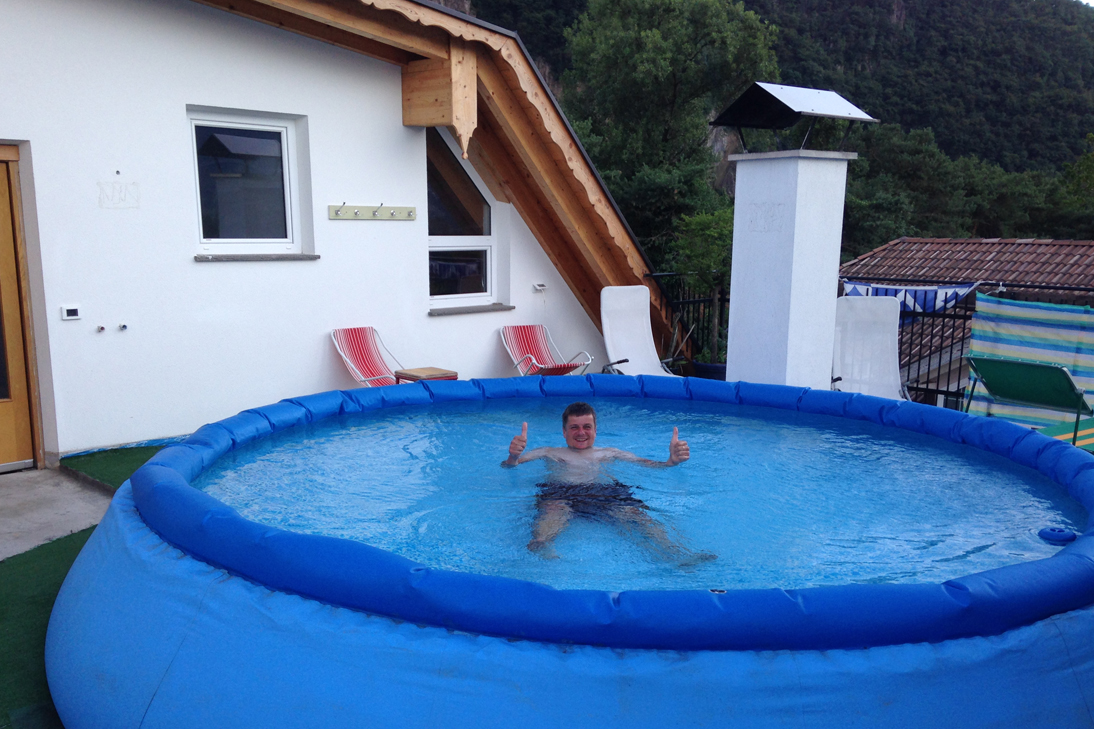 Ein Traum! |
 Mediterrane Farben |
| <-- Tag 5 | Startseite Alpencross | Tag 7 --> |
Impressum - © 2015 - Frank Helms - kikambala.org (letzte Aktualisierung: 23.05.2015)