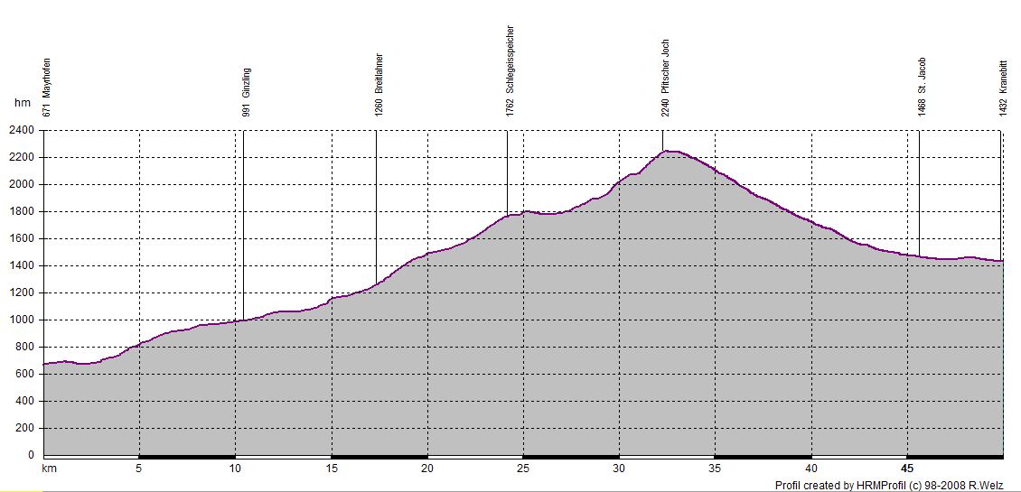
14.07.2014 | Tag 2 | Mayrhofen - Grube bei Kematen
| Übersichtskarte | Höhenprofil | Download GPX Track |
| Länge: | 49,9 km |
| Uhrzeit: | 08:16 Uhr |
| Fahrzeit: | 07:24 h |
| Höhenmeter: | 1862 hm |
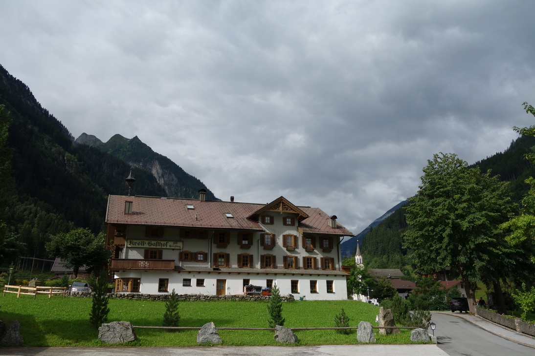
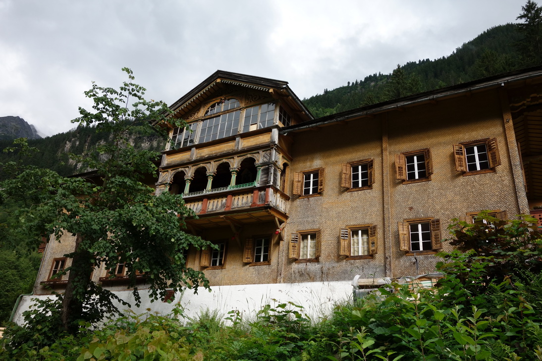
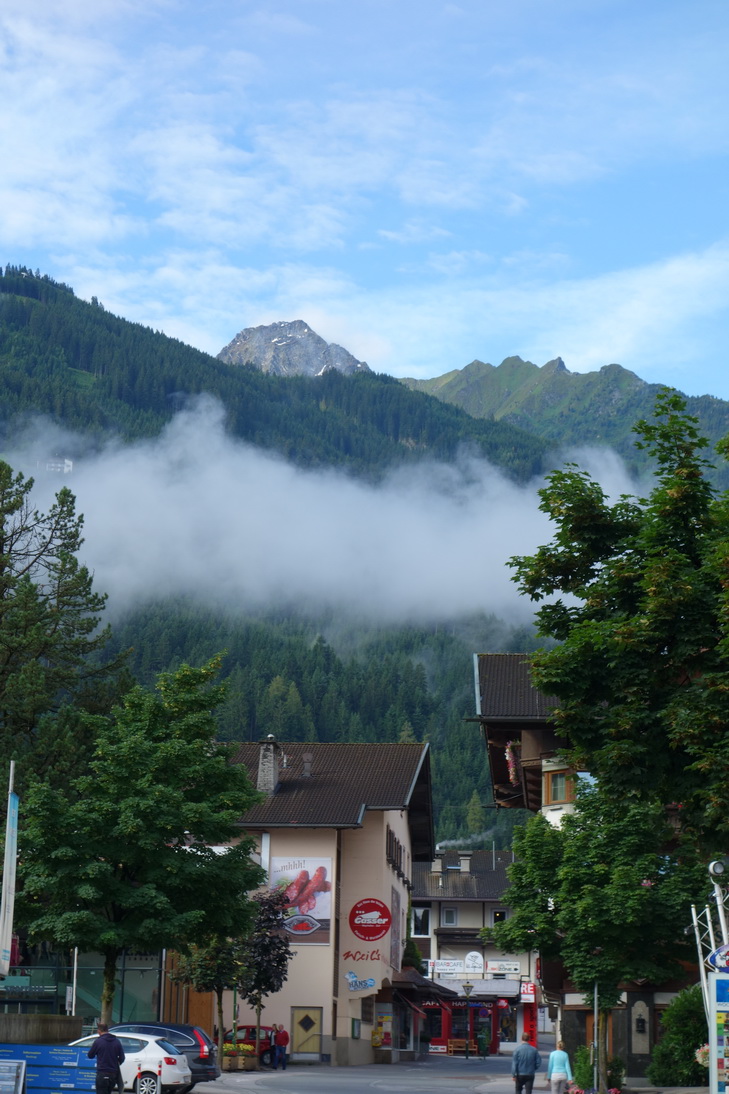 Mayrhofen (680m ü N) |
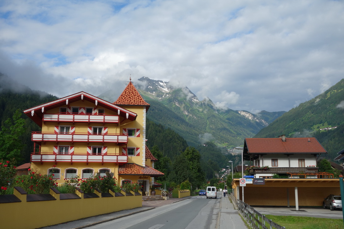 Mayrhofen (680m ü N) |
 km 85 (795m ü N) |
 Zillertal Str. (865m ü N) |
 km 87 (865m ü N) |
 km 88 (915m ü N) |
 km 88 (961m ü N) |
 km 90 (961m ü N) |
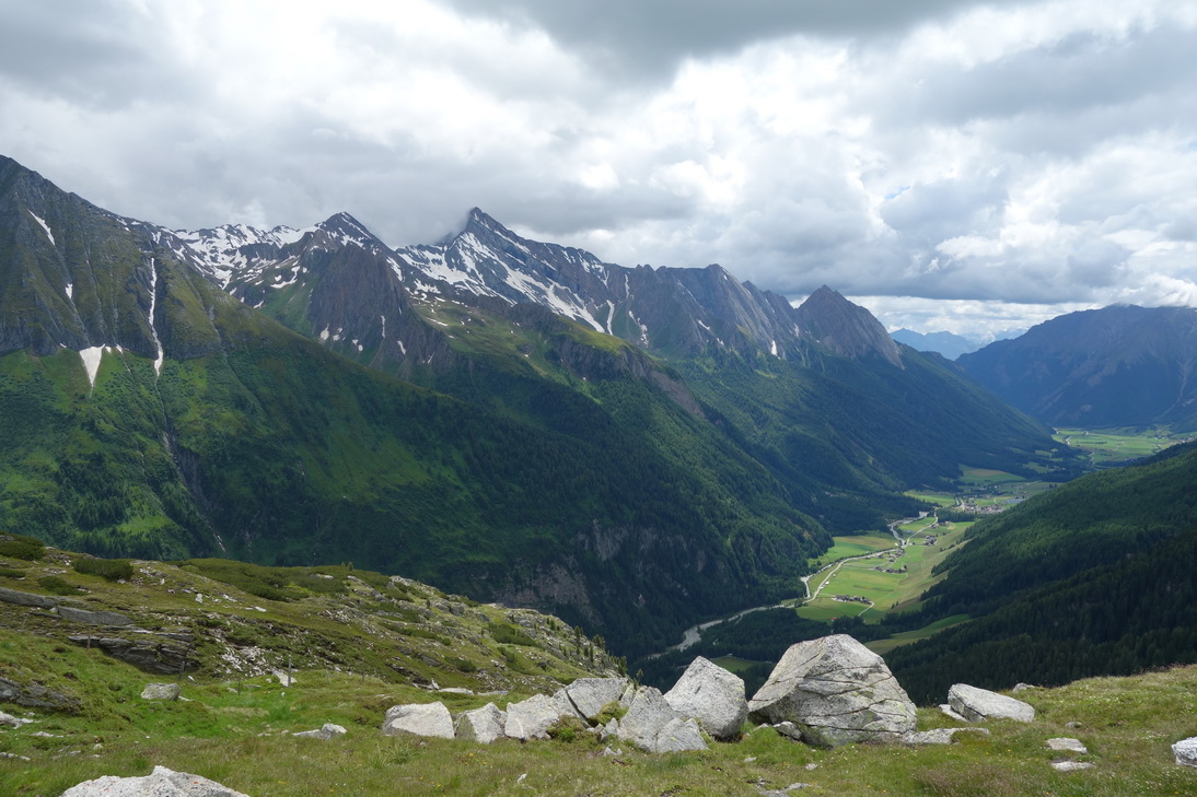
 Ginzling (988m ü N) |
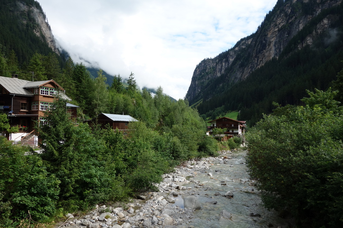 Ginzling (988m ü N) |
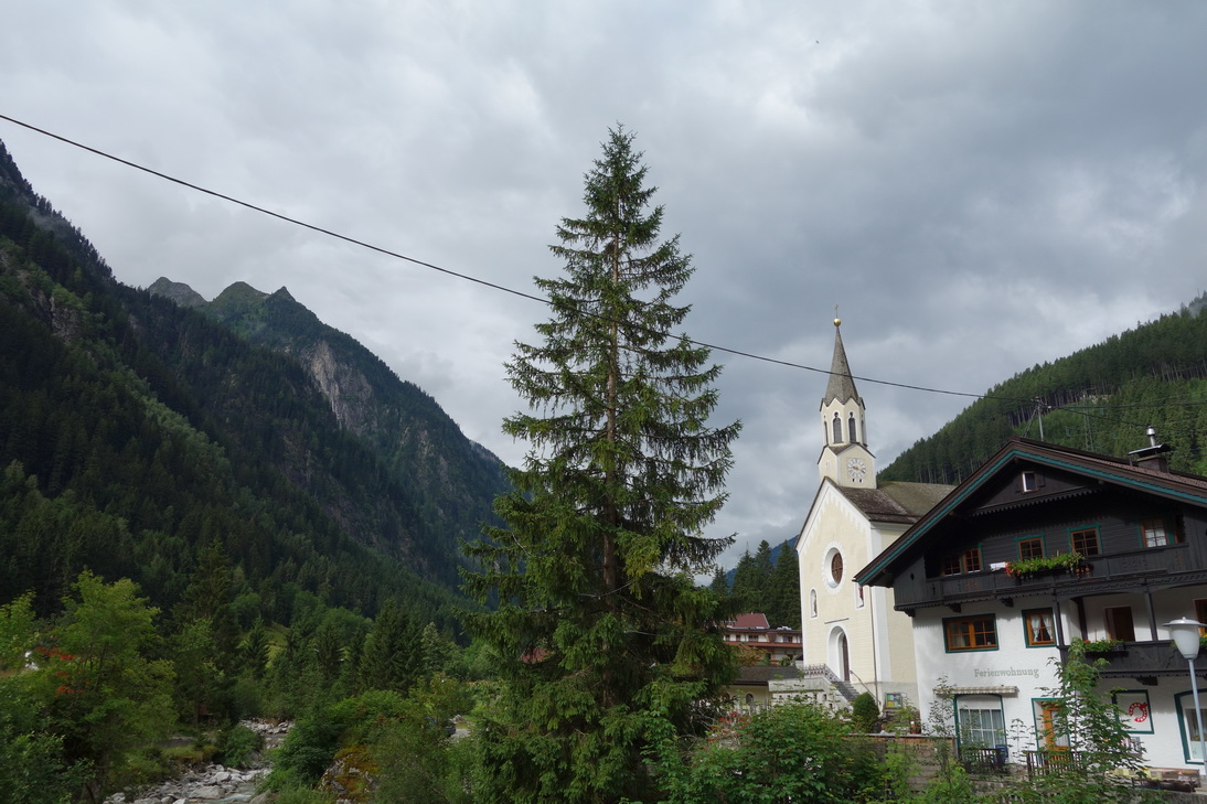 Ginzling (988m ü N) |
 Ginzling (988m ü N) |
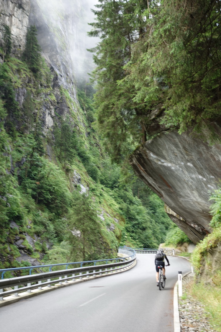
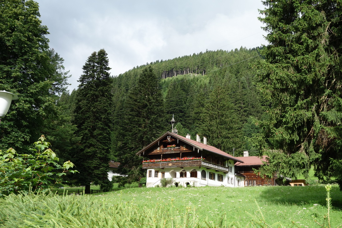
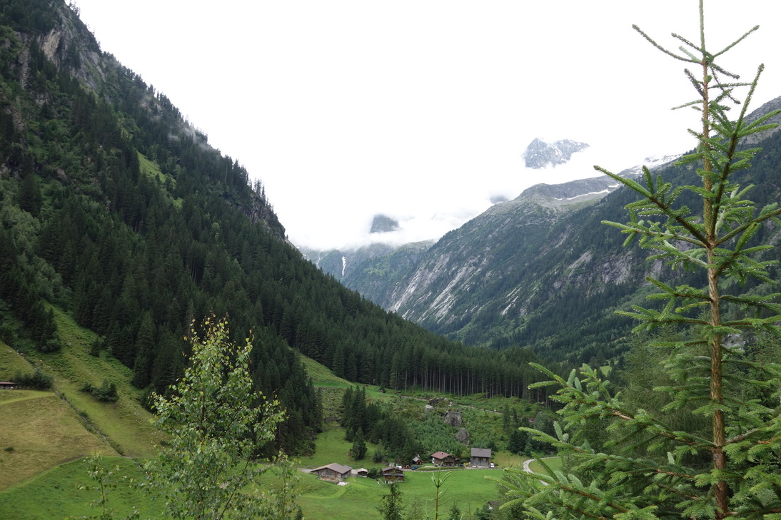
 Dornauberg (1101m ü N) |
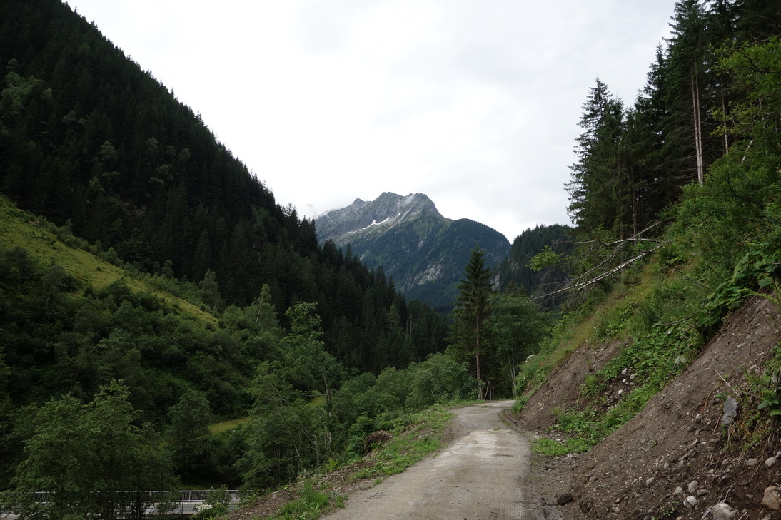 Pfad (1163m ü N) |
 km 98 (1292m ü N) |
 km 101 (1458m ü N) |
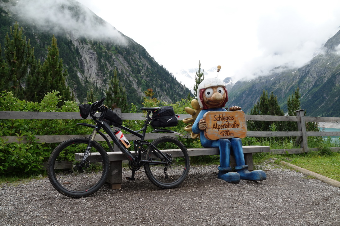
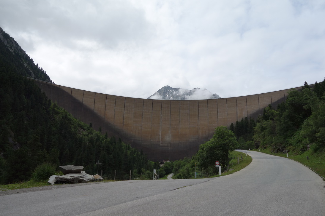 Schlegeis Staumauer |
 Schlegeis Speicher |
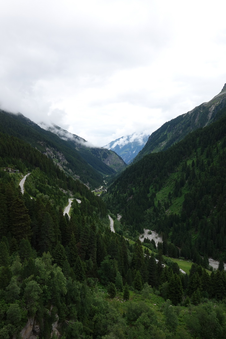 Anfahrt zum Speicher |
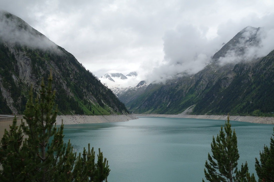 Schlegeis Speicher |
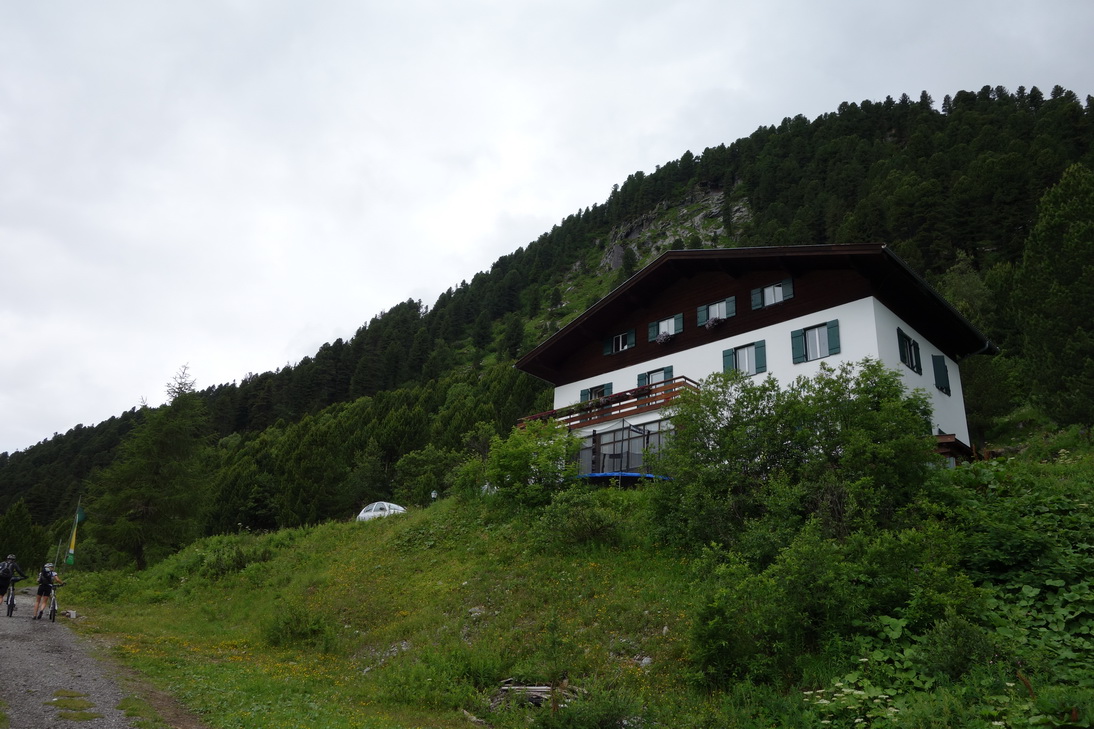 Hütte Dominikus(1800m ü N) |
 km 107 |
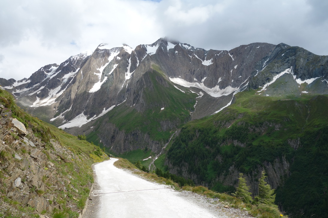
 Zum Pfitscher Joch |
 Gelände wird schwieriger |
 km 109 |
 km 111 (2041m ü N) |
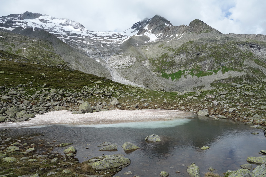
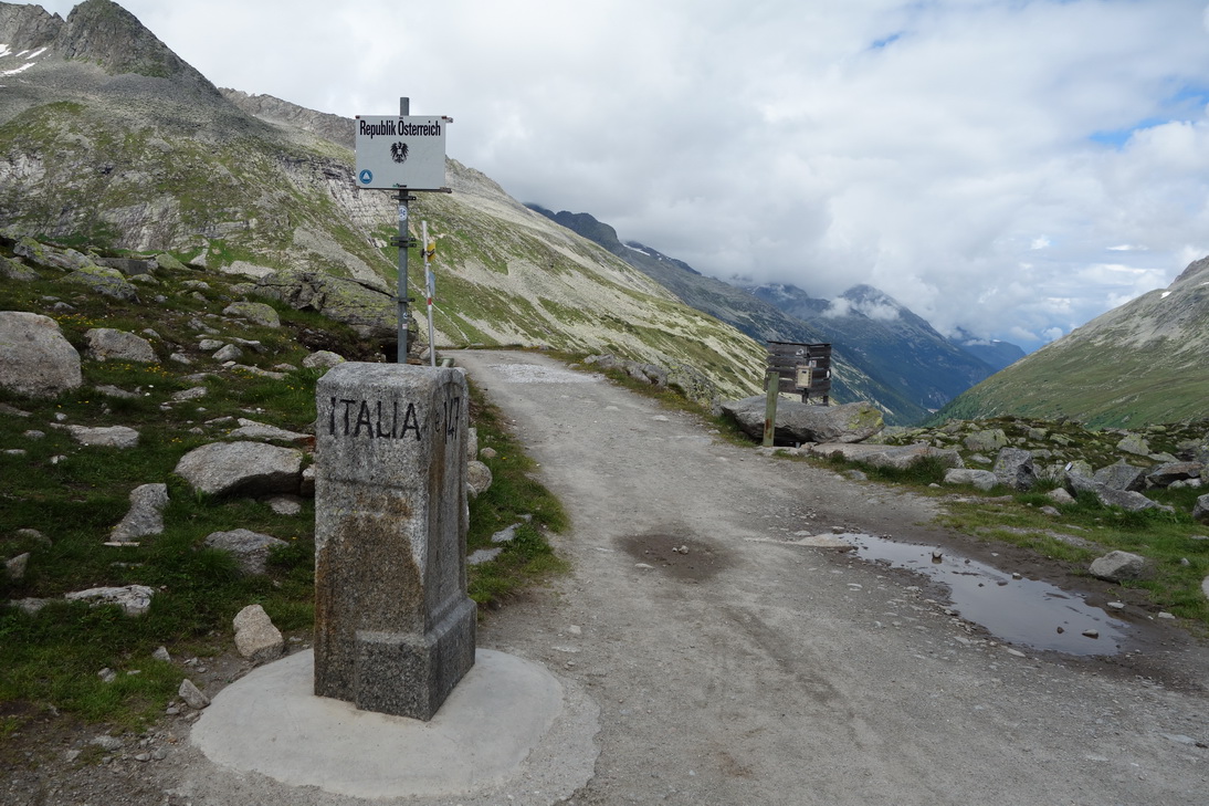 Pfitscher Joch(2241m ü N) |
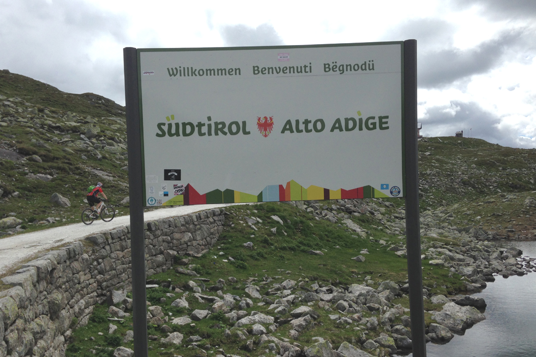 Pfitscher Joch(2241m ü N) |
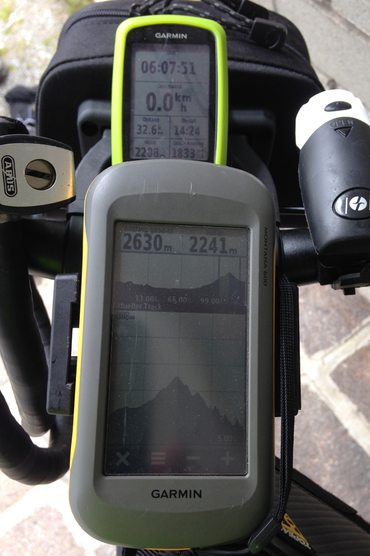 Pfitscher Joch(2241m ü N) |
 Pfitscher Joch(2241m ü N) |
 Blick ins Pfitschtal |
 Schöne Abfahrt ins Tal |
 Pension Kranebitt |
| <-- Tag 1 | Startseite Alpencross | Tag 3 --> |
Impressum - © 2015 - Frank Helms - kikambala.org (letzte Aktualisierung: 23.05.2015)