08.05.2015 | Tag 3 | Forst - Eisenhüttenstadt
Stalinstadt, Eisenhüttenstadt, Fürstenberg – auf den Spuren einer Illusion.
| Übersichtskarte | Download GPX Track |
| Länge: | 65,3 km |
| Uhrzeit: | 09:16 Uhr |
| Fahrzeit: | 05:52 h |
| Höhenmeter: | 52 hm |
 Pension am Kegeldamm, Frühstücksraum |
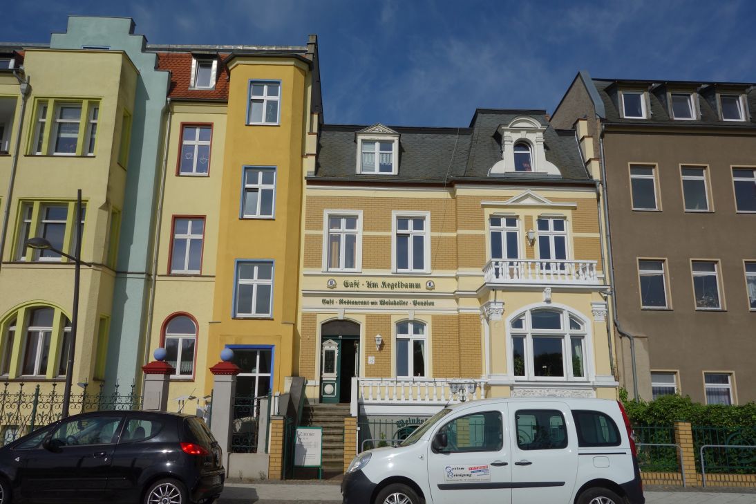 Pension am Kegeldamm / Forst |
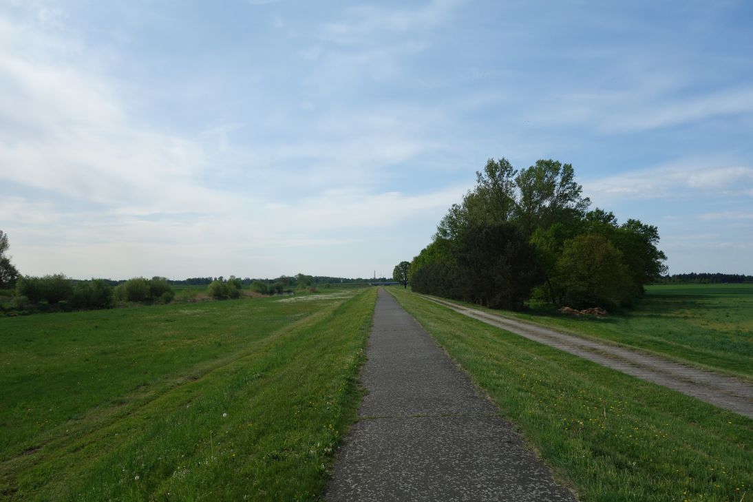 Radweg auf dem Deich hinter Forst |
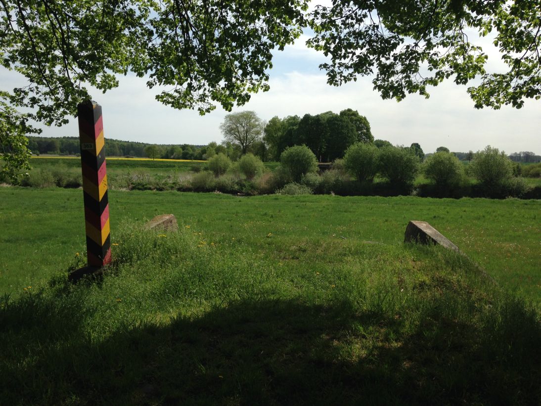 Immer wieder zerstörte Brücken |
 Grenzrose - N51° 46.957' E14° 39.167' |
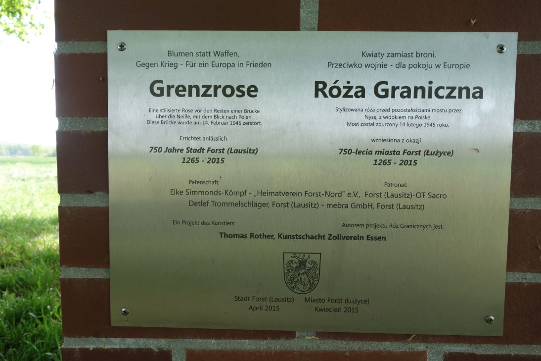 Grenzrose - N51° 46.957' E14° 39.167' |
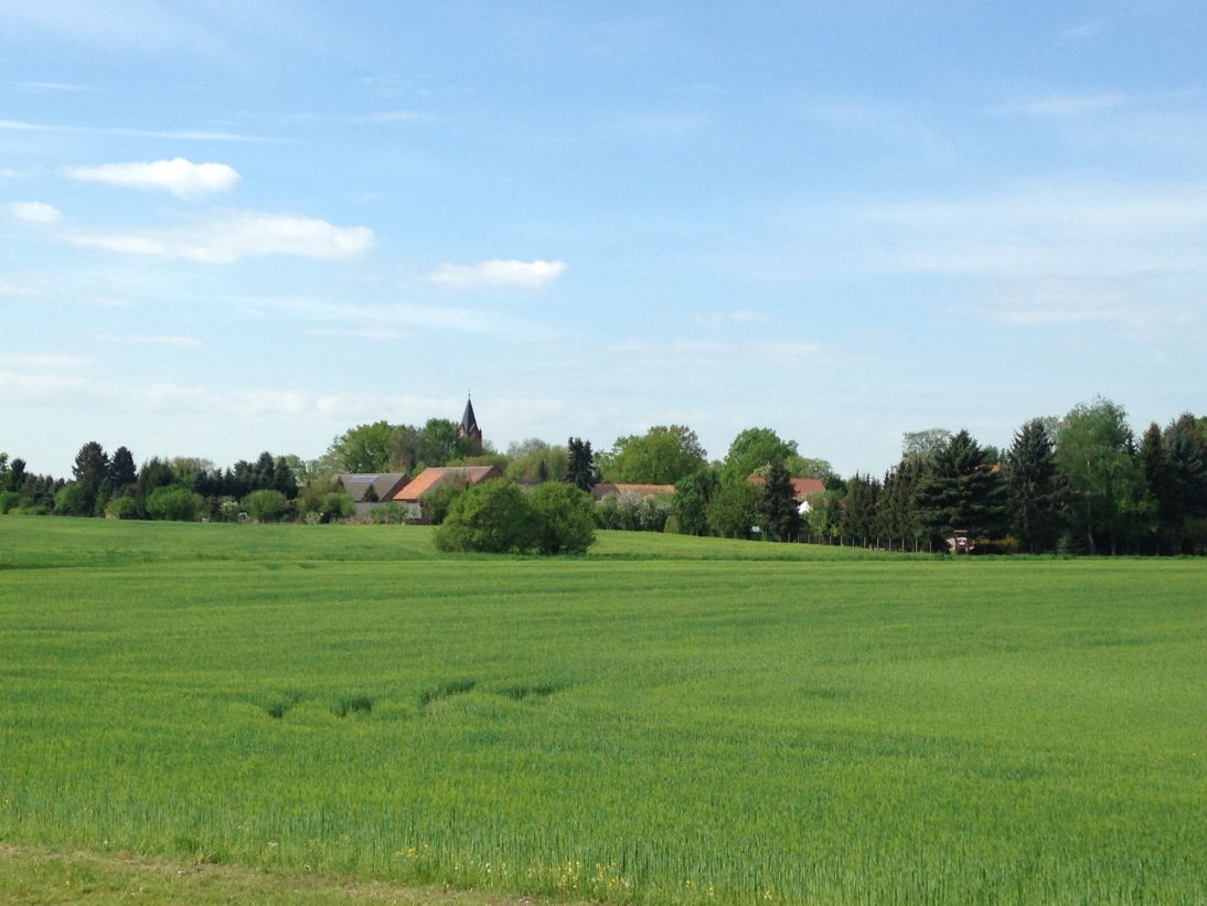 N51° 47.027' E14° 39.114' |
 Bahntrassenradweg |
 Malxe-Neiße-Kanal bei Griessen |
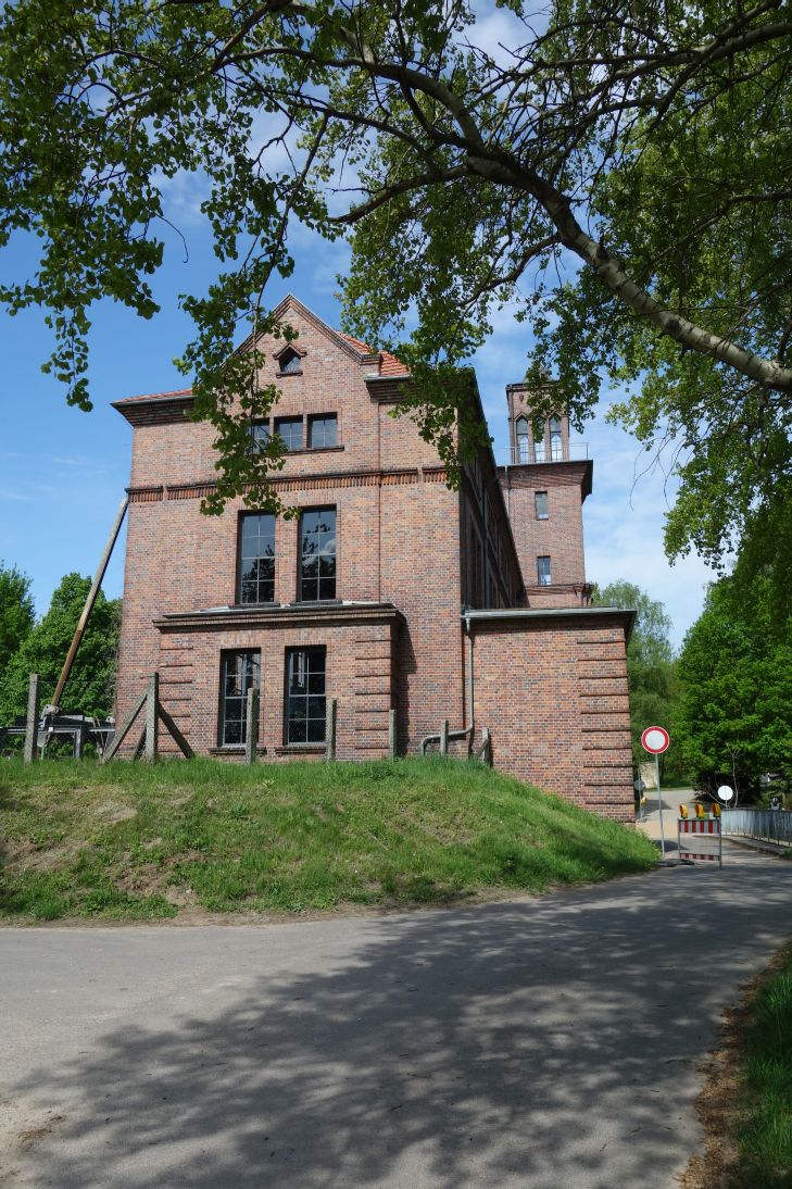 Wasserkraftwerk Griessen |
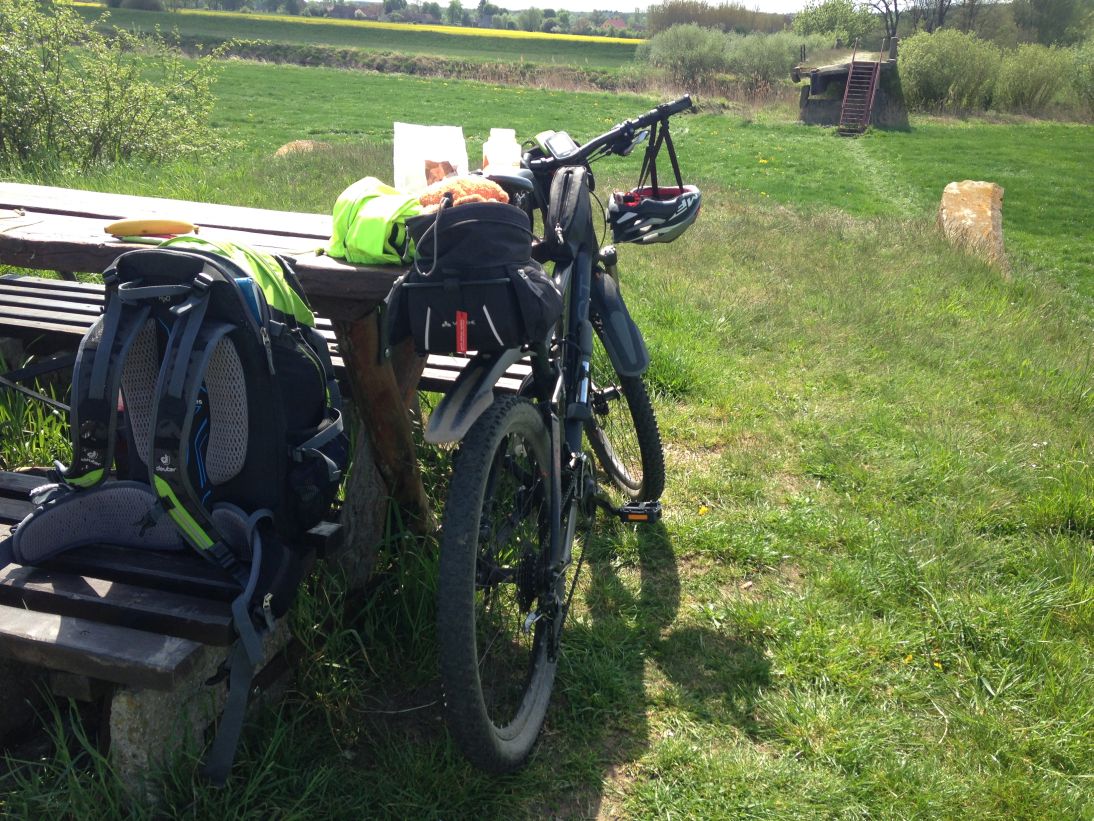 Rast bei N51° 52.011' E14° 38.366' |
 Brückenrest bei N51° 52.011' E14° 38.366' |
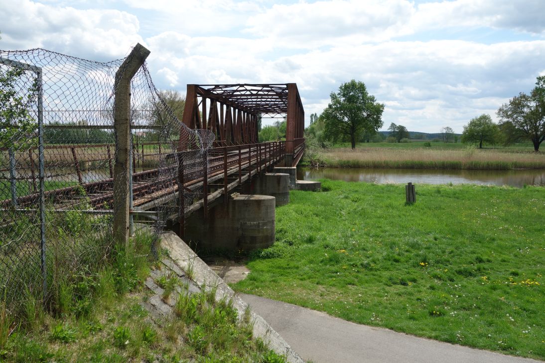 Stillgelegte Eisenbahnbrücke |
 Radweg vor Guben |
 Guben |
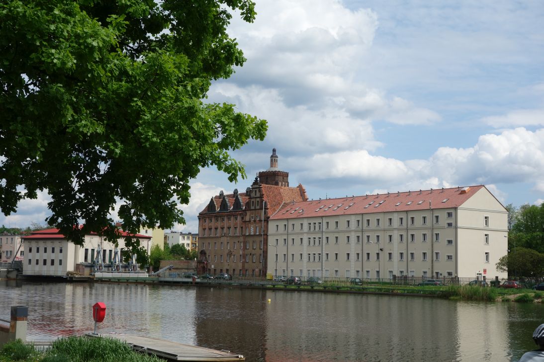
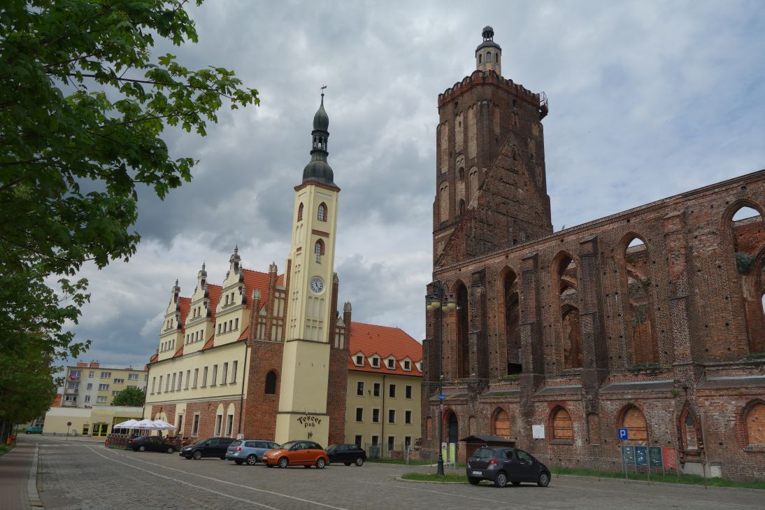 Die polnische Seite von Guben (Gubin) |
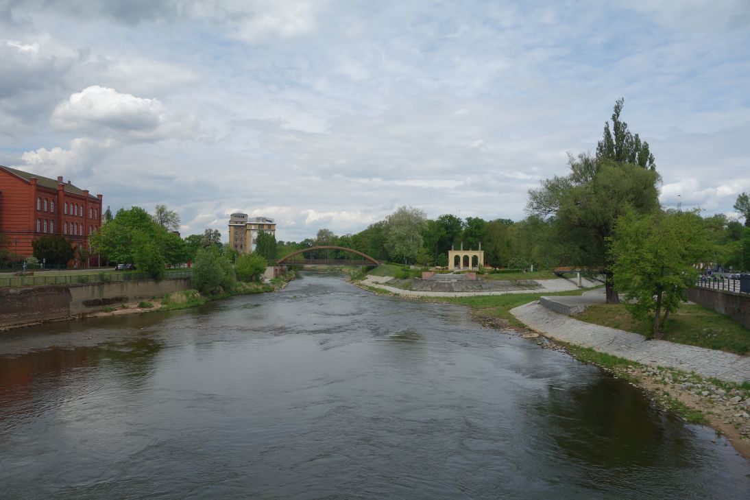 Neiße in Guben |
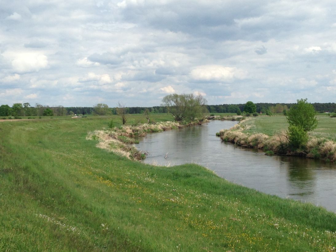 Neiße - N52° 01.761' E14° 44.408' |
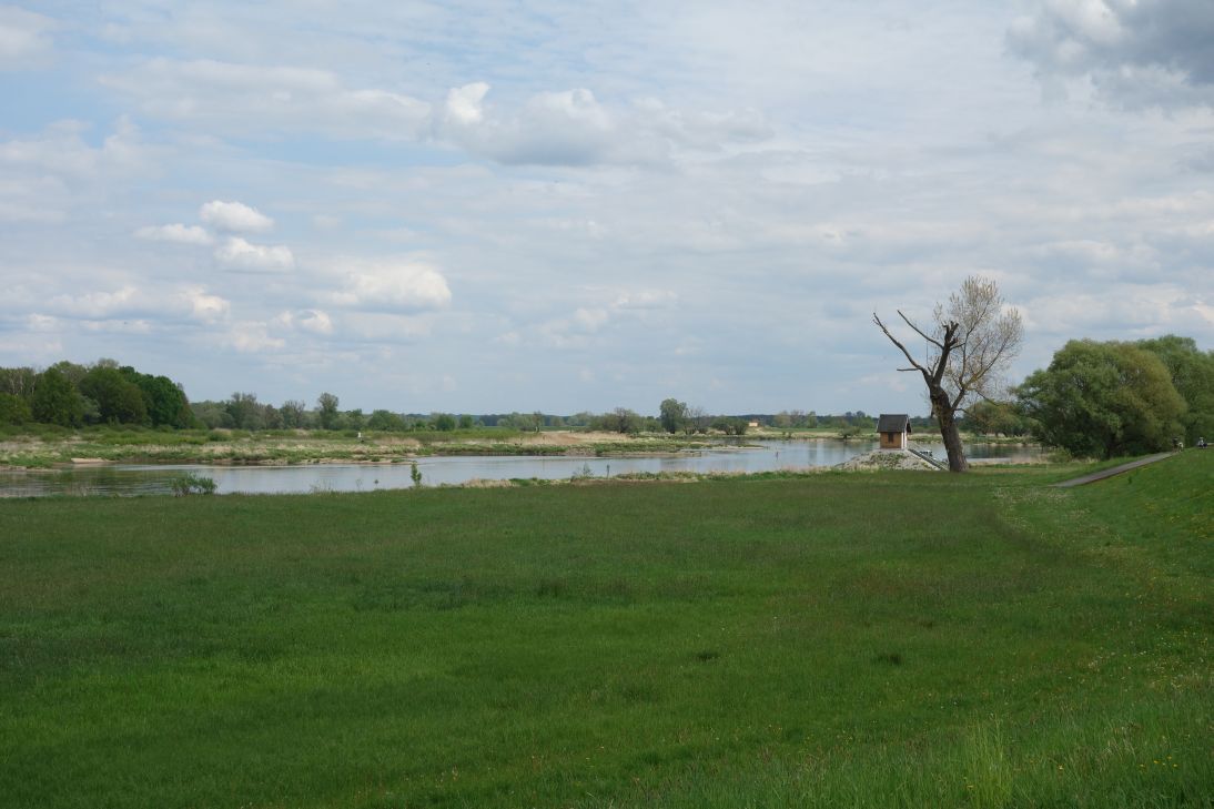 Zusammenfluss Oder - Neiße |
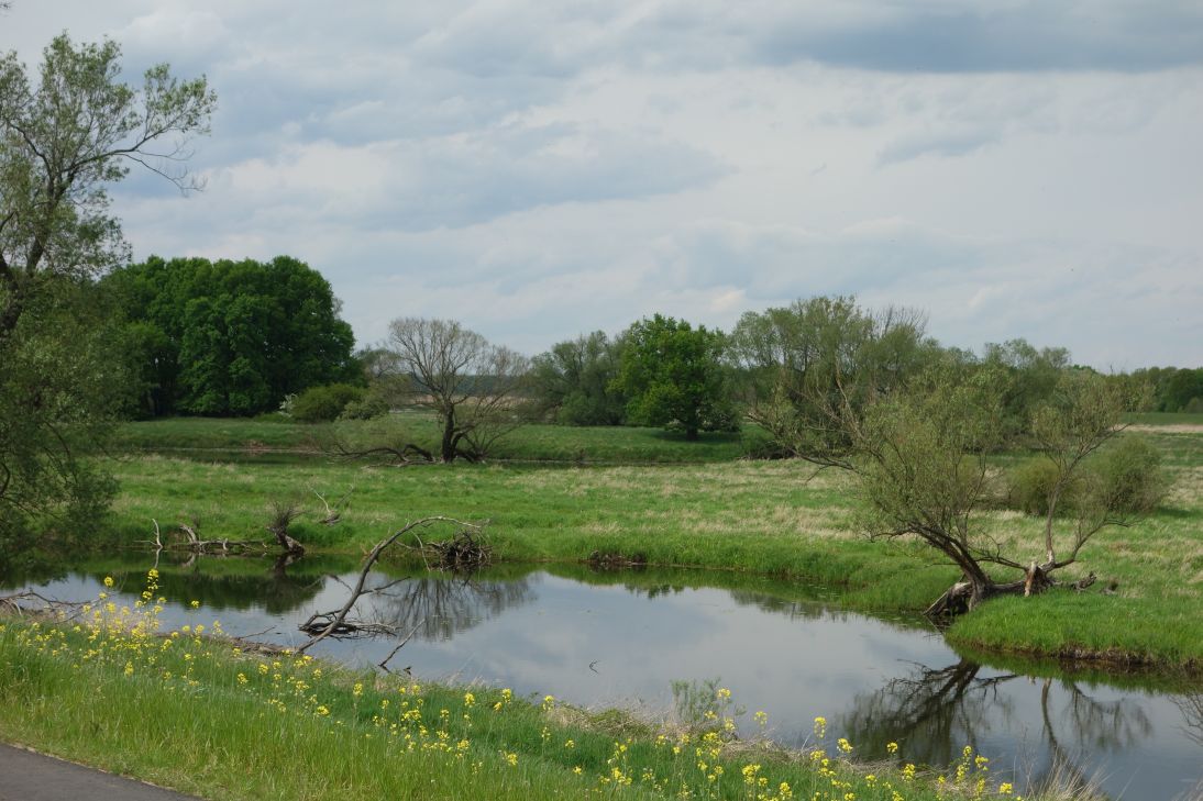 Zwischen Guben und Eisenhüttenstadt |
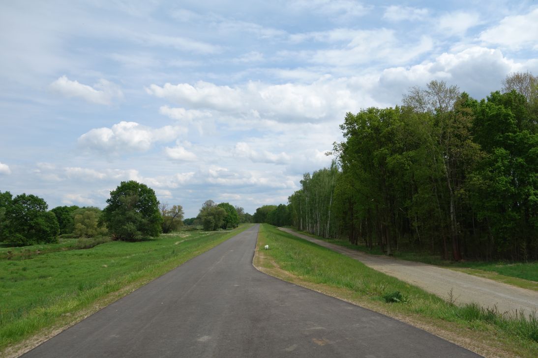 Radweg vor Eisenhüttenstadt |
 N52° 05.885' E14° 41.506' |
 Fürstenberg (Stadteil von Eisenhüttenstadt) |
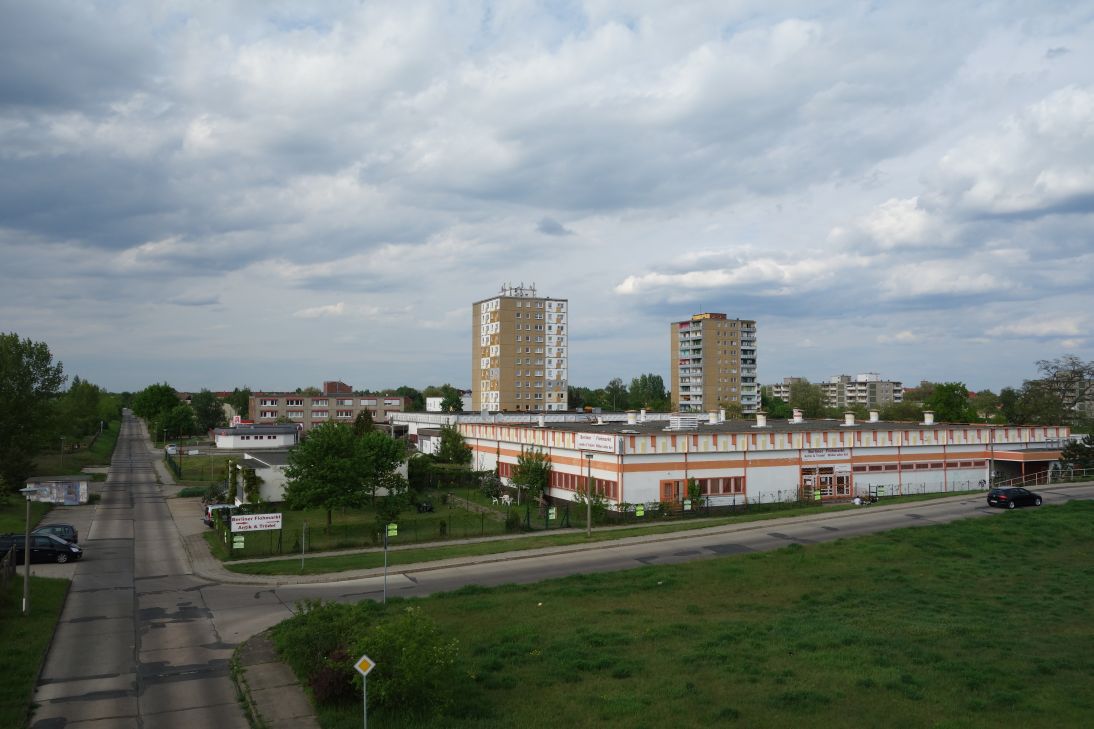 Extrarunde durch Eisenhüttenstadt |
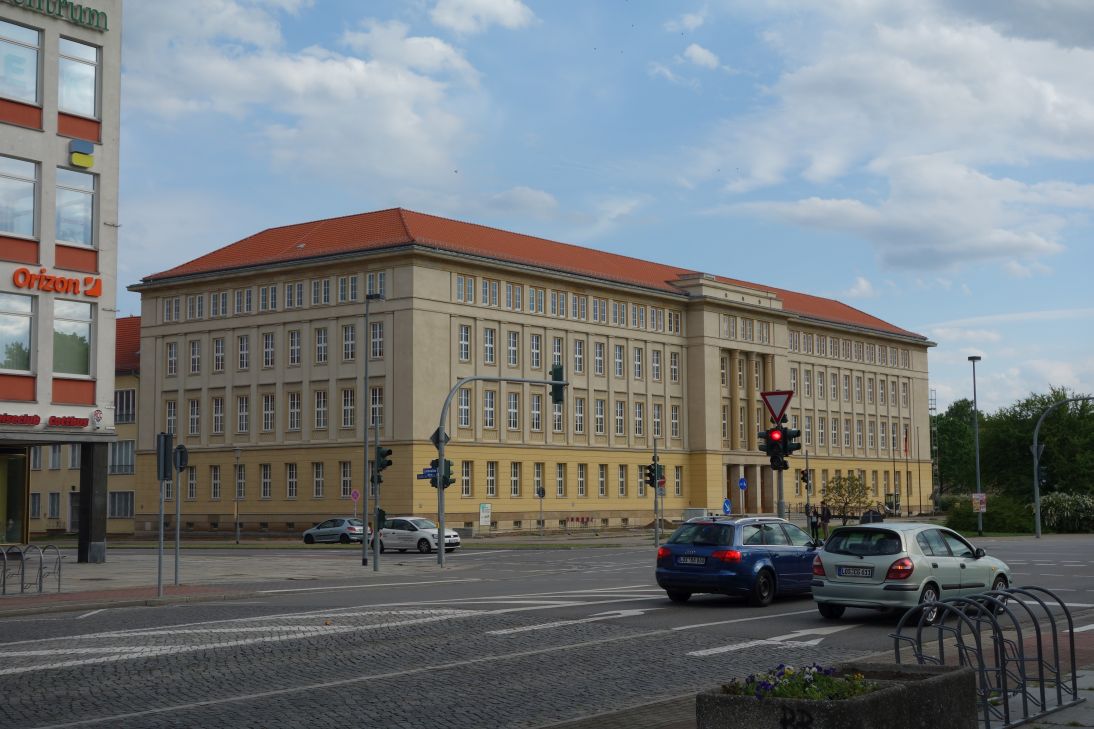 Planstadt Eisenhüttenstadt (Rathaus) |
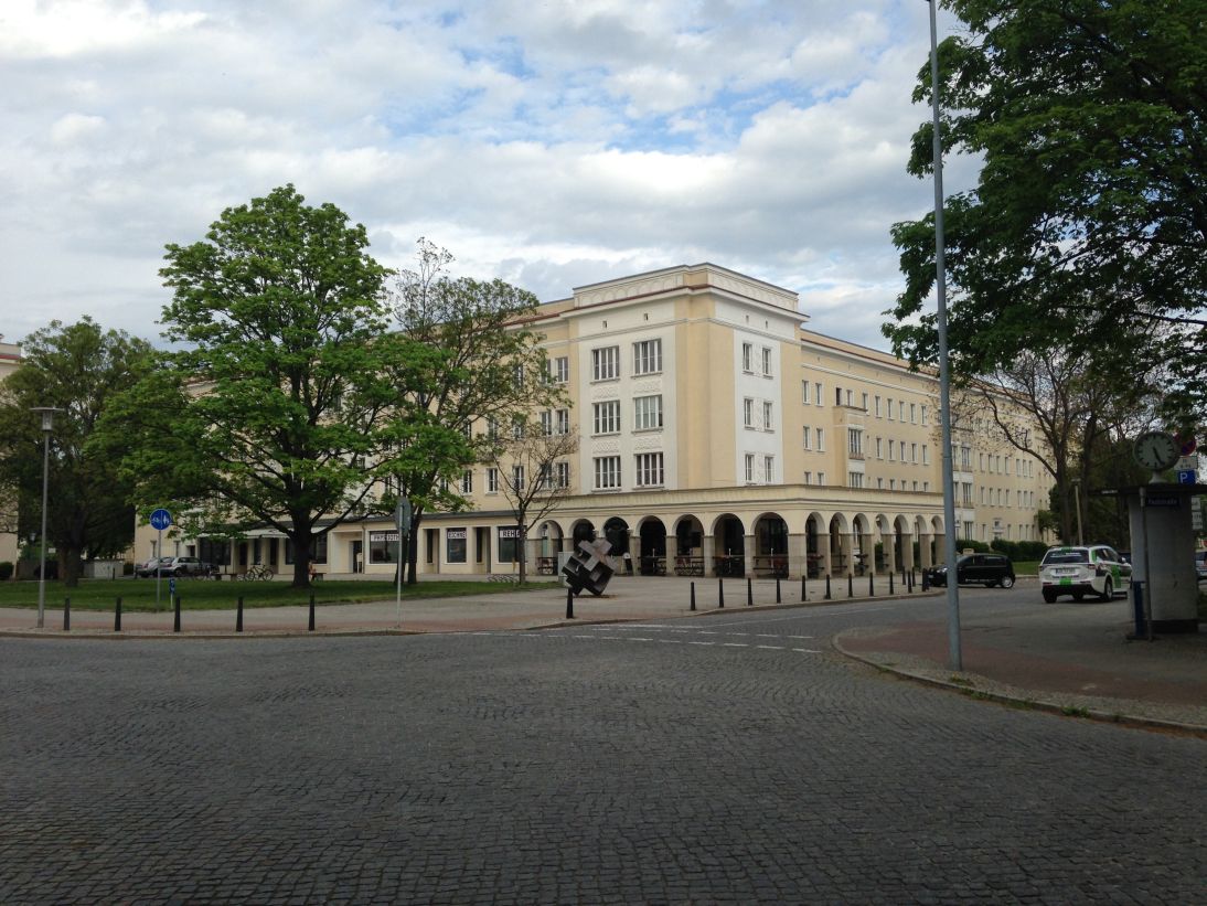 Planstadt Eisenhüttenstadt |
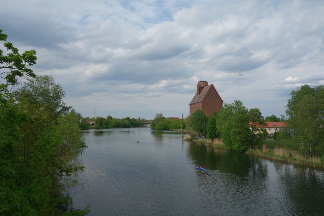 Oder Spree Kanal in Eisenhüttenstadt |
| <-- Tag 2 | Startseite Rügentour | Tag 4 --> |
Impressum - © 2015 - Frank Helms - kikambala.org (letzte Aktualisierung: 23.05.2015)