16.07.2015 | Tag 3 | Mayrhofen - Pfitschtal
Die Königsetappe führt von Mayrhofen über den Schlegeisspeicher zum Pfitscher Joch und dann in das wunderschöne Pfitschtal.
| Übersichtskarte | Download GPX Track |
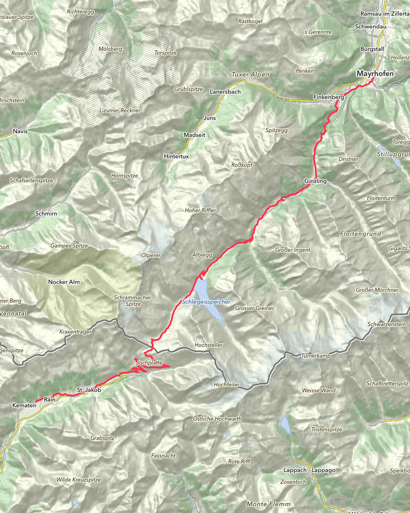
| Länge: | 49,7 km |
| Uhrzeit: | 09:11 Uhr |
| Fahrzeit: | 09:11 h |
| Höhenmeter: | 1.655 hm |
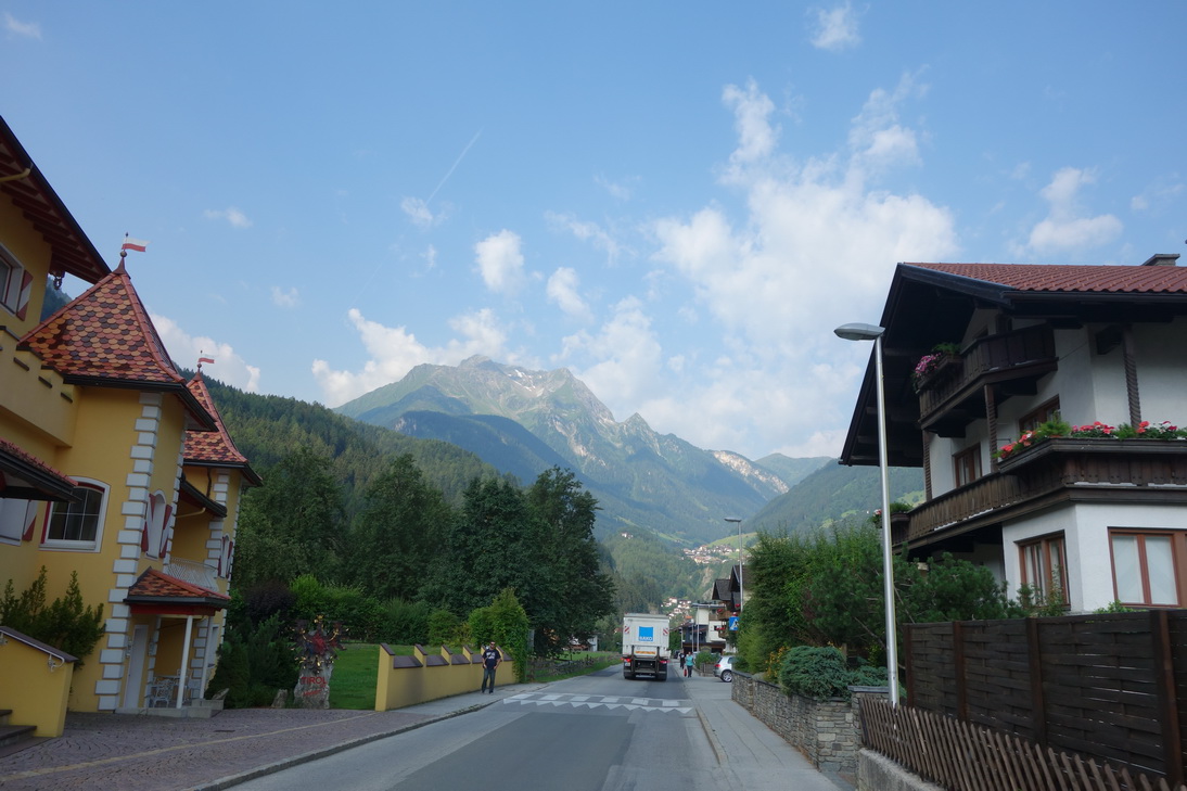 Start in Mayrhofen |
 N47° 09.192' E11° 50.097' |
 N47° 08.711' E11° 49.749' |
 N47° 08.161' E11° 49.187' |
 N47° 07.383' E11° 48.629' |
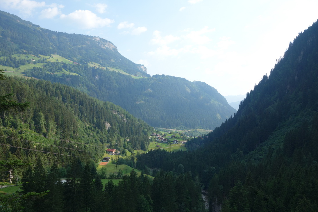
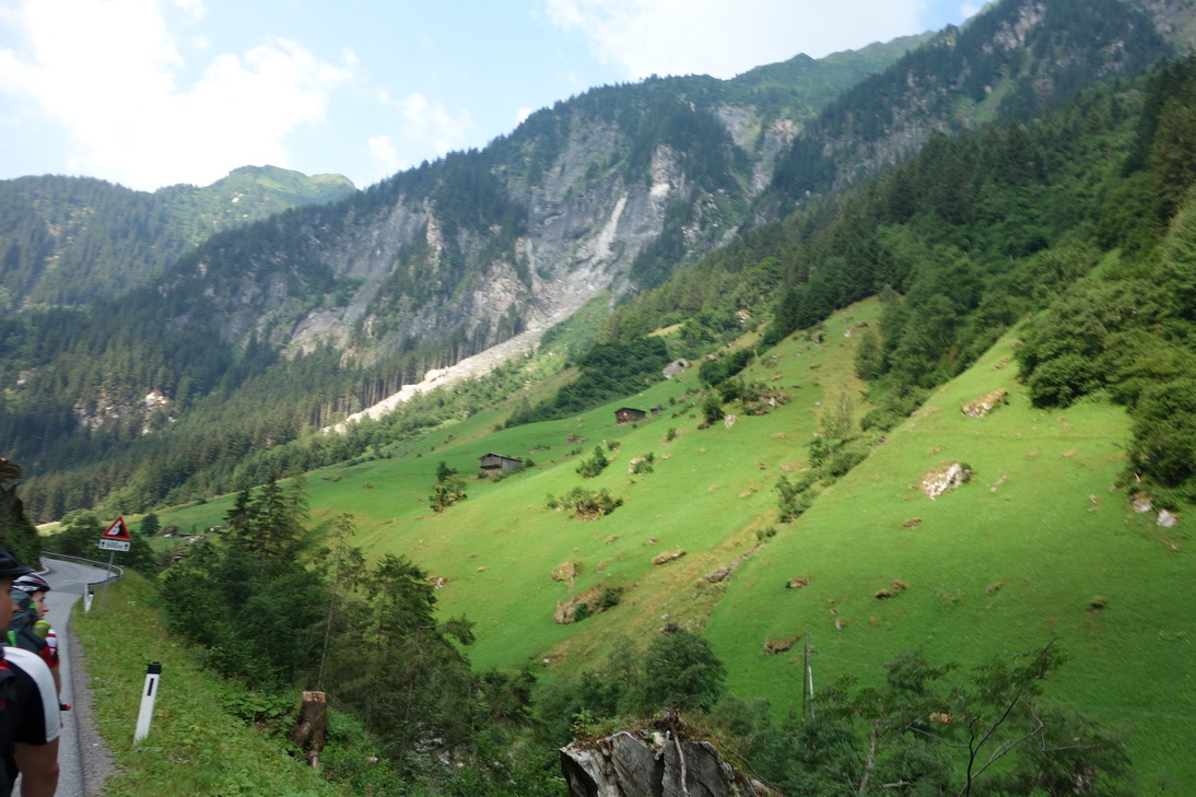
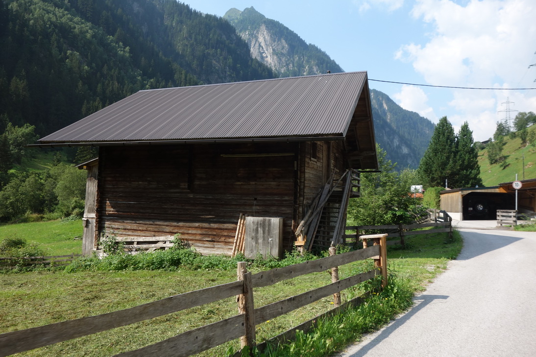
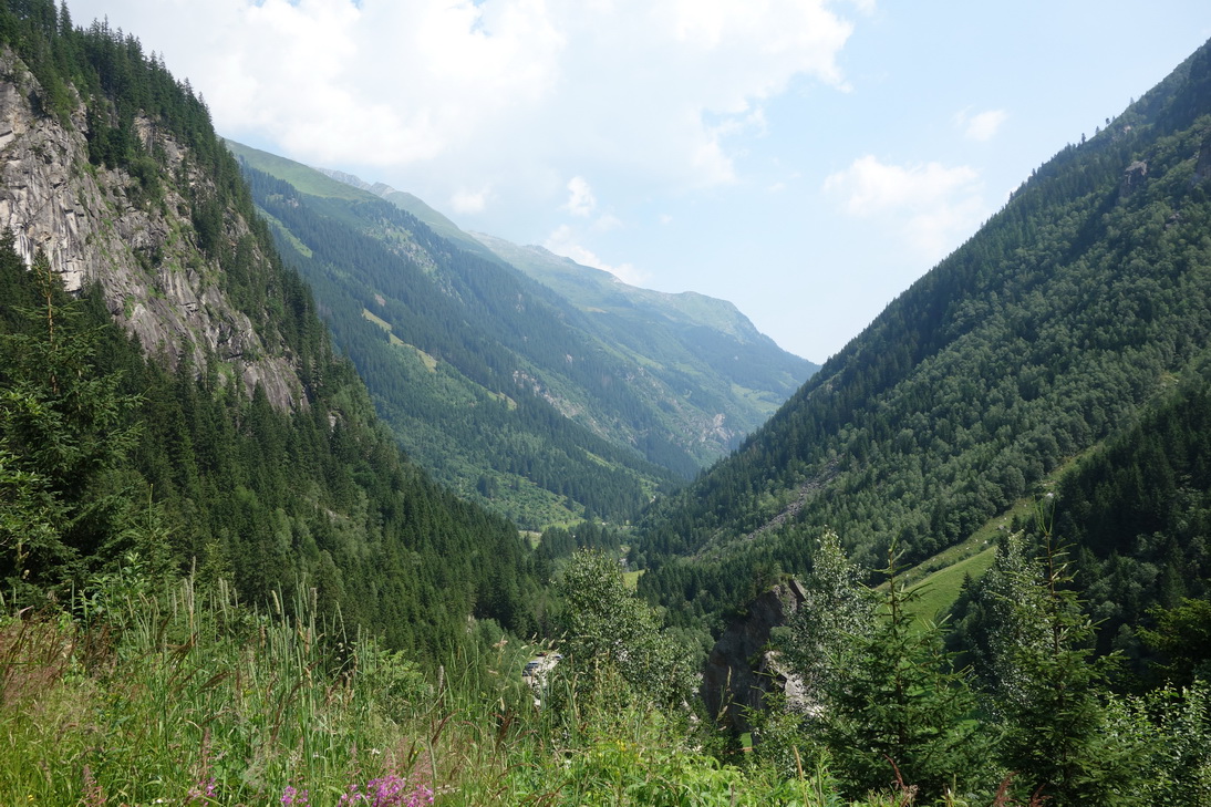
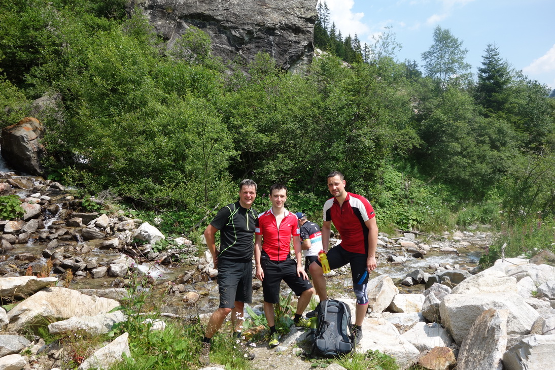
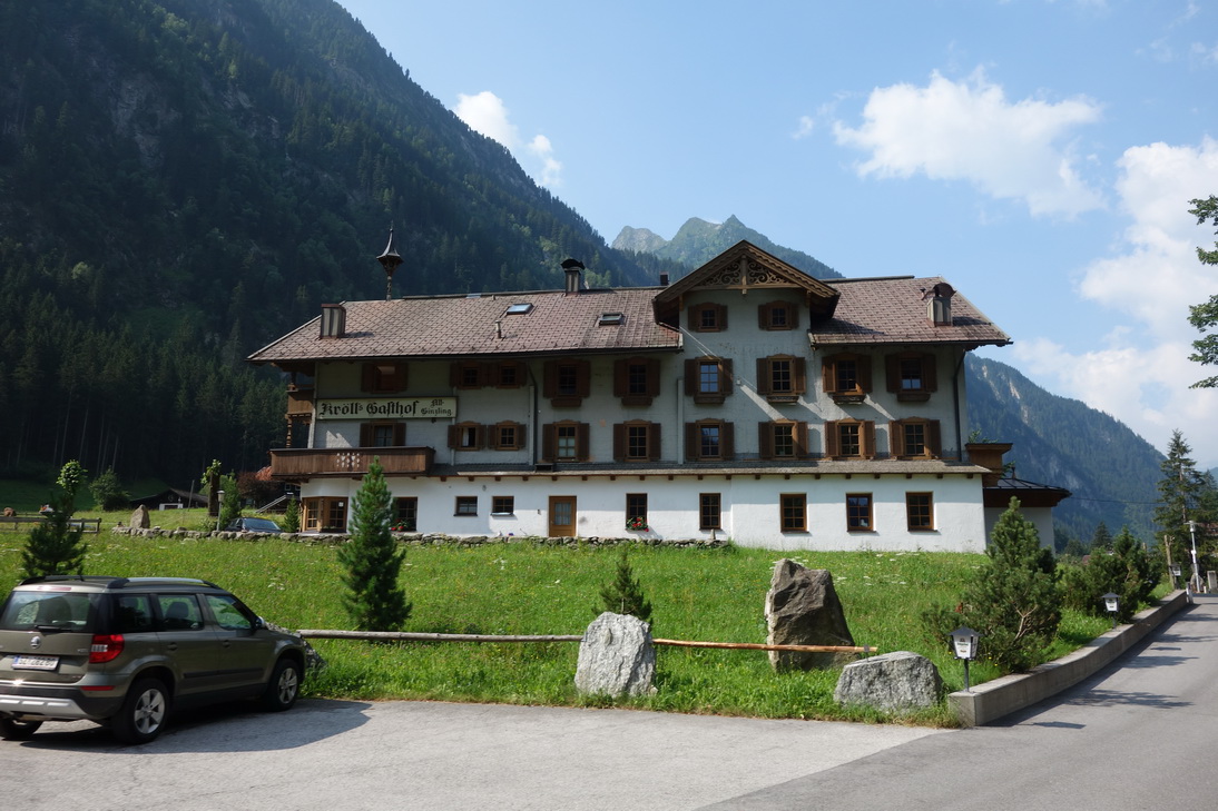 Bergsteigerdorf Ginzling |
 Bergsteigerdorf Ginzling |
 N47° 05.857' E11° 48.204' |
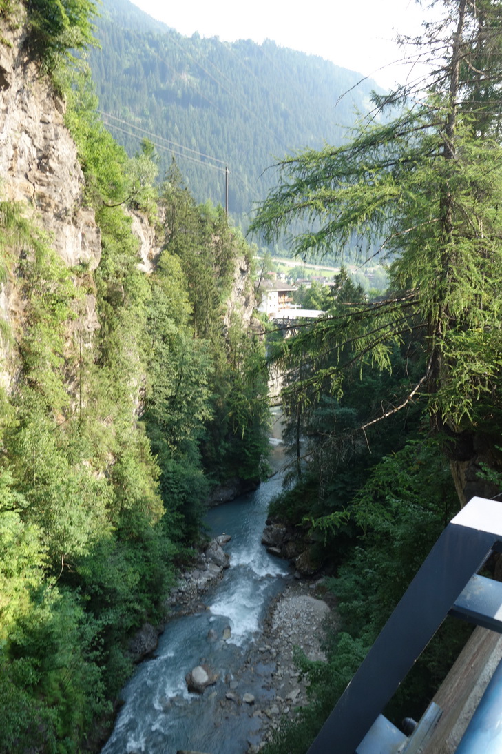
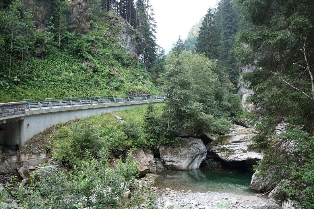
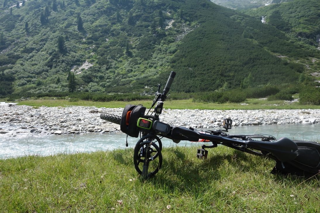
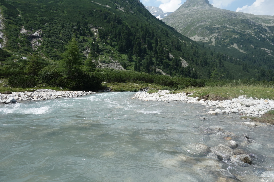
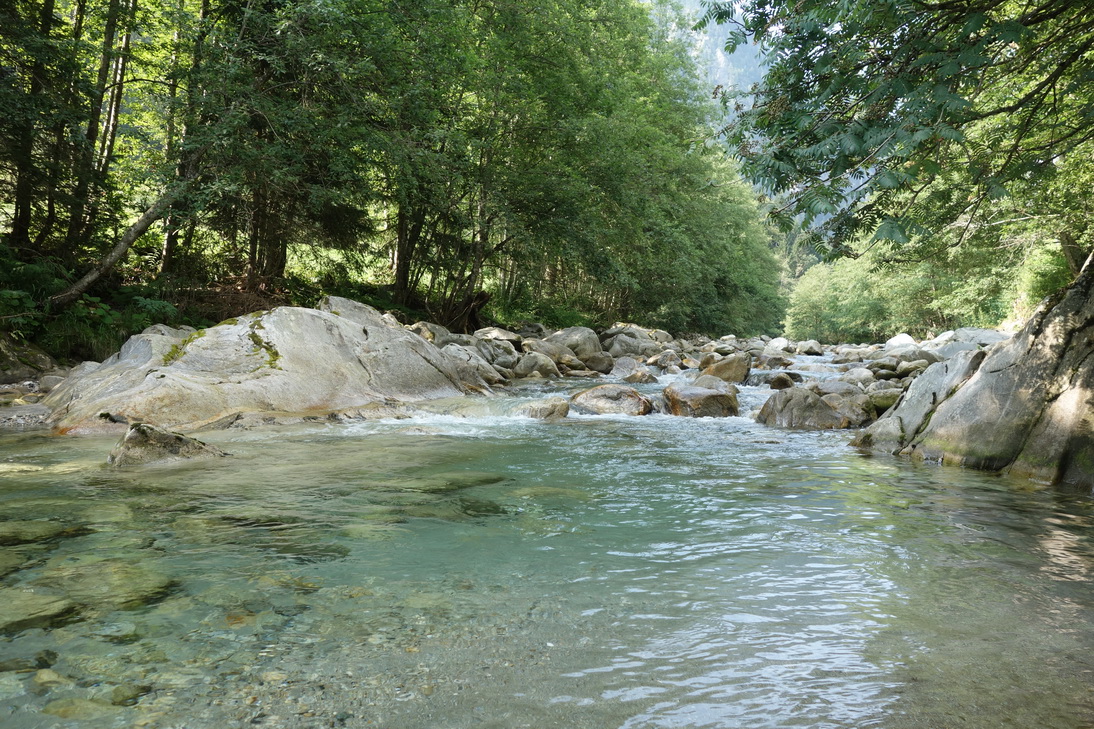 Der Zemmbach |
 N47° 04.537' E11° 45.467' |
 N47° 03.844' E11° 45.048' |
 N47° 03.566' E11° 44.105' |
 N47° 03.470' E11° 43.898' |
 N47° 03.469' E11° 43.896' |
 N47° 02.916' E11° 42.987' |
 N47° 02.904' E11° 42.936' |
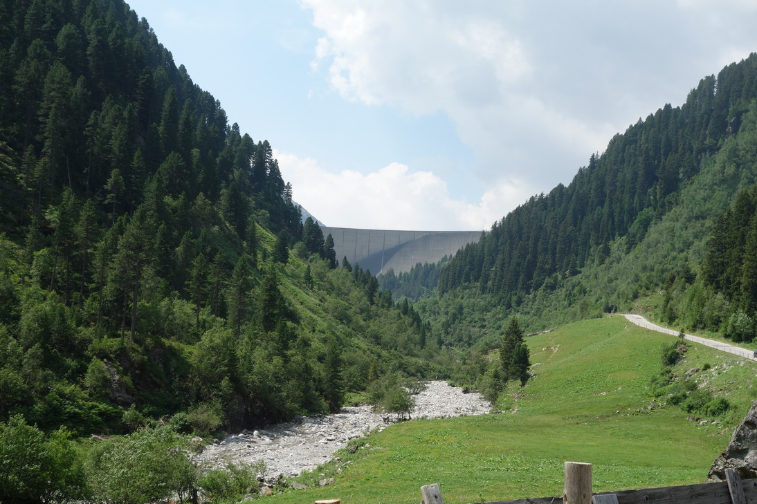
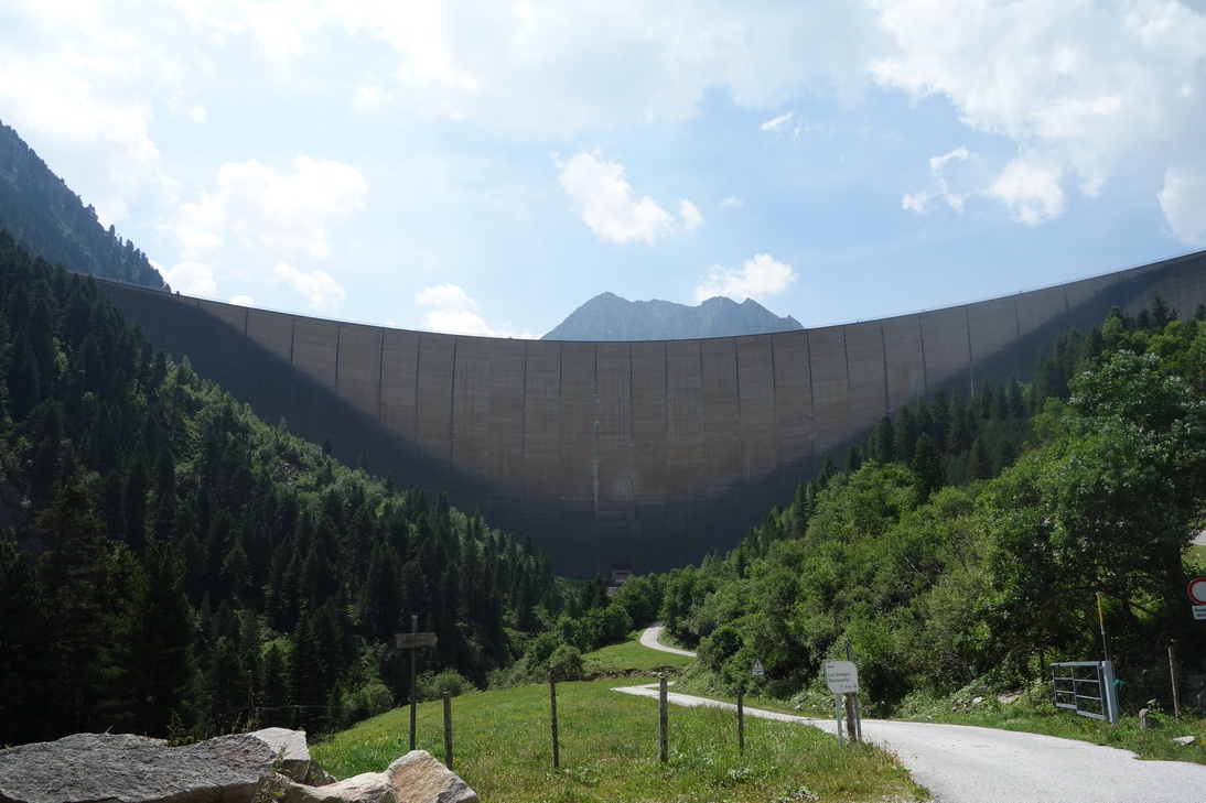 Staumauer Schlegeisspeicher |
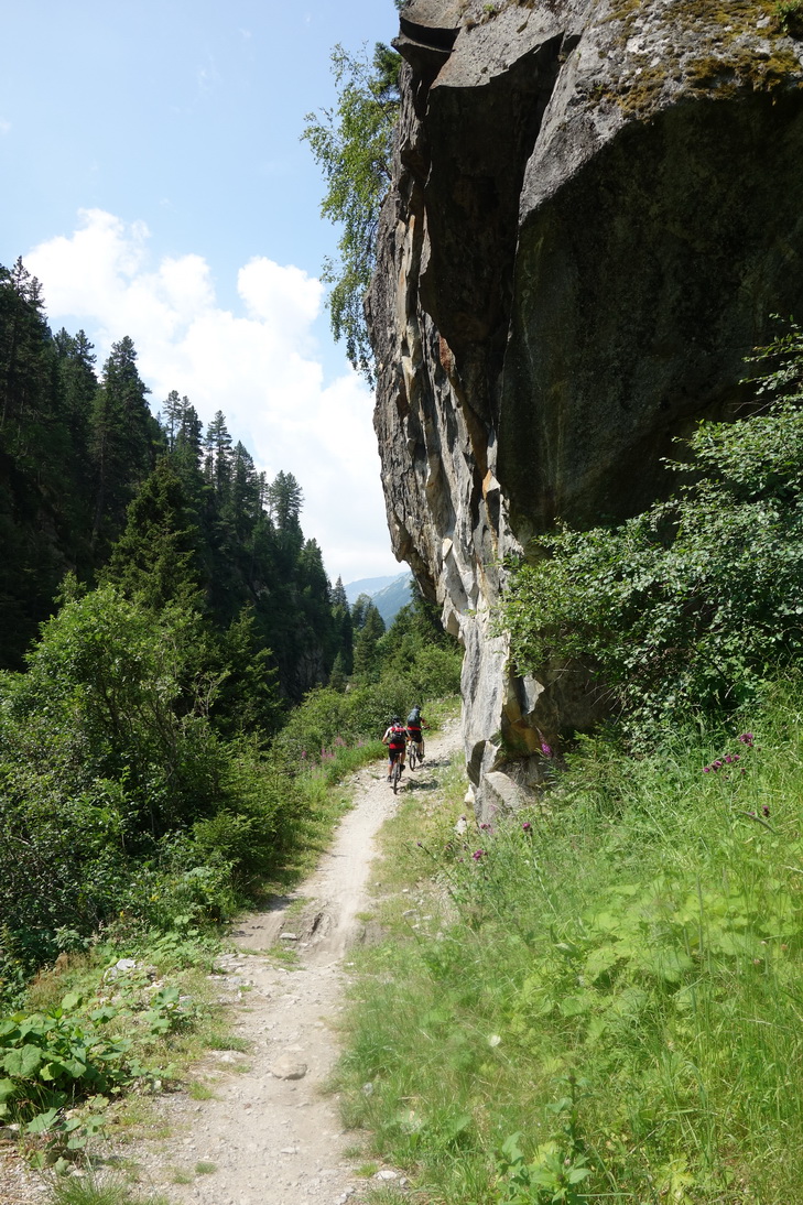
 Anstieg zum Schlegeisspeicher |
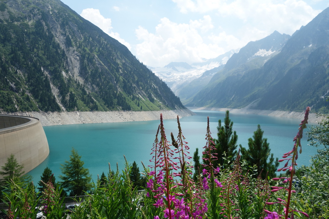 Schlegeisspeicher |
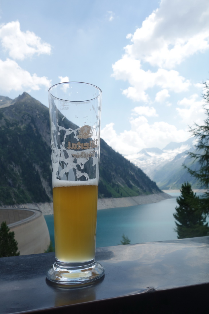 Ohne Worte |
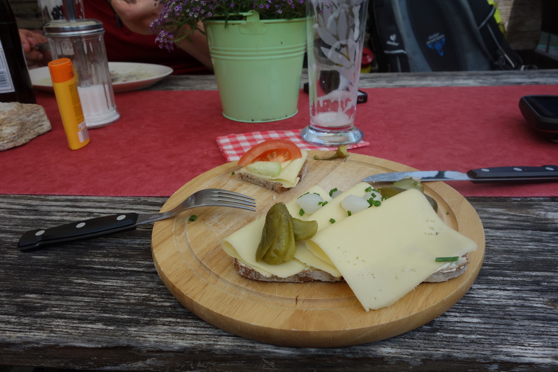 Brotzeit auf der Dominikus Hütte |
 "Bewacher" der Dominikus Hütte |
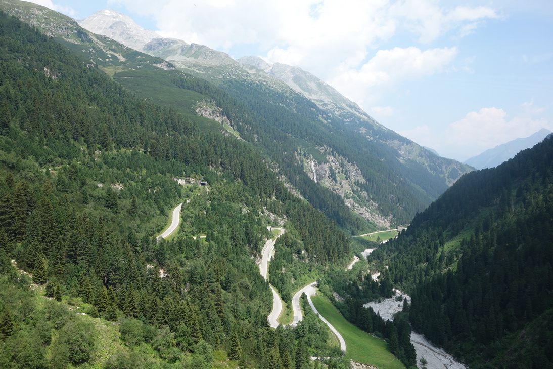
 Piste in Richtung Pfitscher Joch |
 N47° 00.942' E11° 40.722' |
 N47° 00.730' E11° 40.669' |
 N47° 00.429' E11° 40.431' |
 -- |
 N47° 00.067' E11° 40.023' |
 Schiebepassage Pfitscher Joch |
 N46° 59.681' E11° 39.628' |
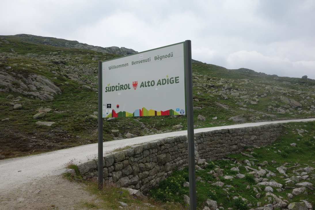 Endlich Südtirol - Pfitscher Joch |
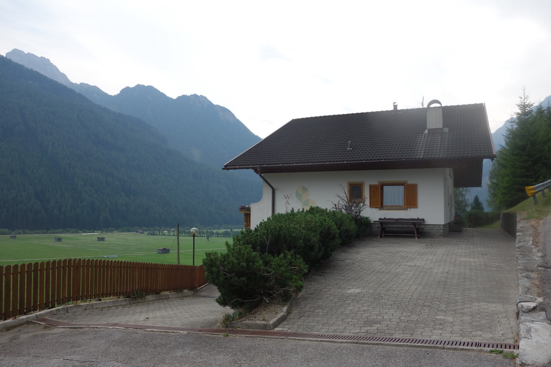 Unterkunft in Grube Hotel, Kranebit |
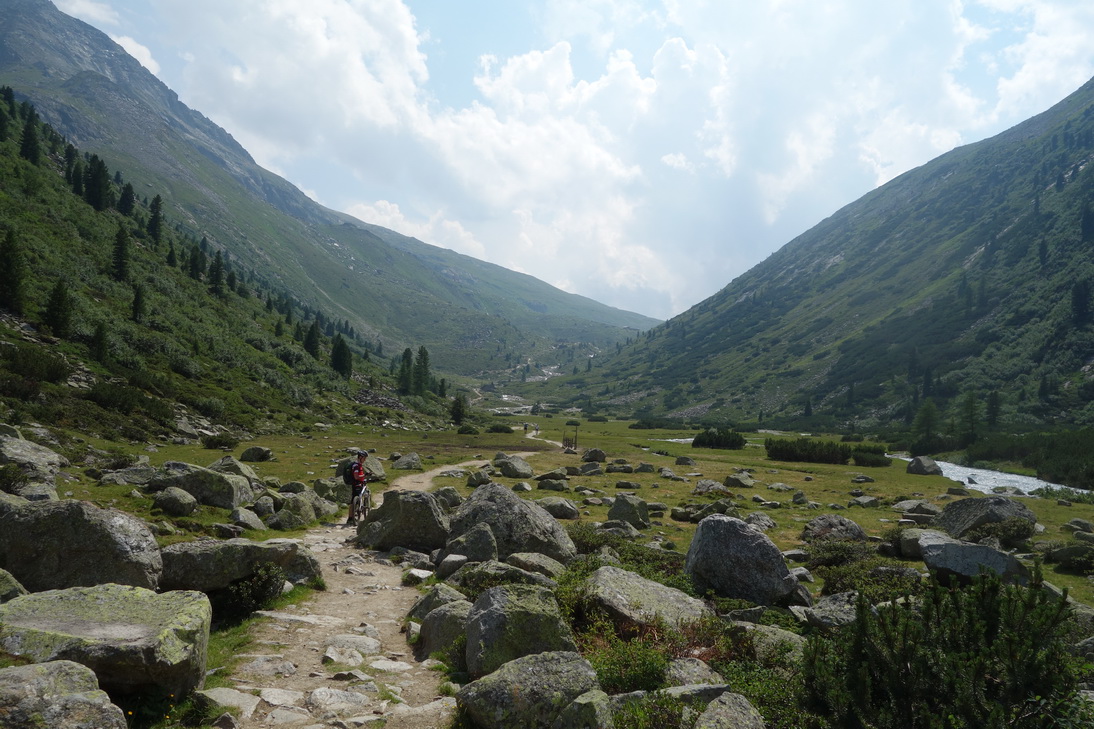
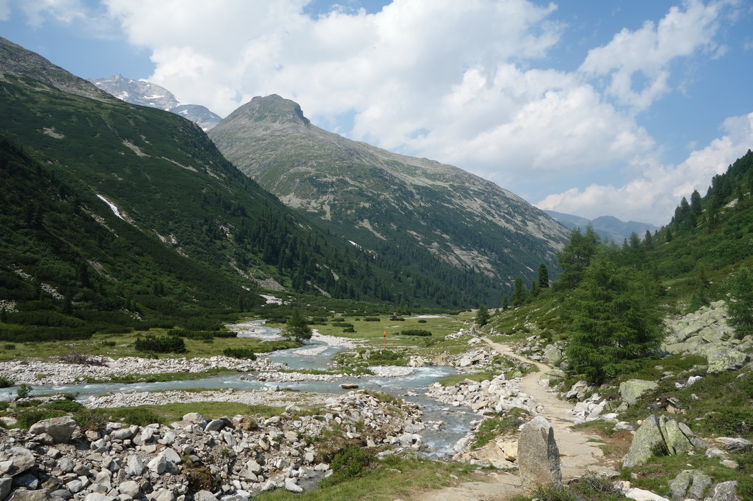
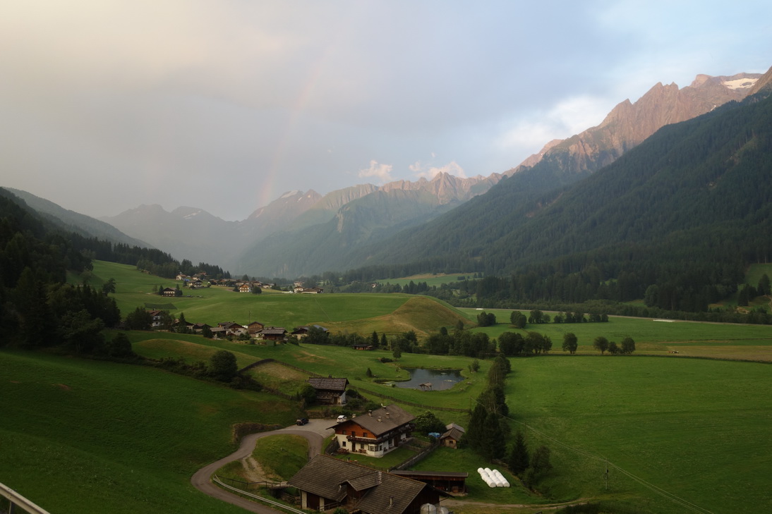 Das Pfitschtal |
| <-- Tag 2 | Startseite Alpencross 2015 | Tag 4 --> |
Impressum - © 2015 - Frank Helms - kikambala.org (letzte Aktualisierung: 13.05.2016)